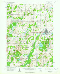
1961 Map of Bellevue
USGS Topo · Published 1962About this map
Bellevue serves as the primary hub in this early 1960s survey, where the Grand Trunk railroad corridor meets the winding path of the Grand River. The landscape is defined by its transition from the town center to the outlying townships of Assyria, Pennfield, and Convis, dotted with evidence of early rural infrastructure. Local history researchers will find a cluster of country institutions like the Base Line Ch, Boughton Sch, and Pruett Cem located across the county lines of Barry, Eaton, and Calhoun. The southwestern portion of the map is dominated by an extensive network of water bodies, including Clear Lake, Deep Lake, and Pine Lake, which contrast with the industrial presence of several Quarries and Gravel Pits near the riverbanks.
Find a feature on this map
34 named features on this map. Tap any name to fly to it.
Don’t see what you’re looking for? This feature index may not catch every label — zoom into the map to look around manually.
Map Details
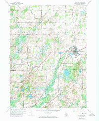
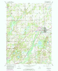
Editions of this 1961 Bellevue Map
3 editions found
Other maps of this area

1918 · Battle Creek
USGS Topo · 1:62,500

1921 · Marshall
USGS Topo · 1:62,500

1923 · Marshall
USGS Topo · 1:62,500

1943 · Battle Creek
USGS Topo · 1:62,500

1943 · Marshall
USGS Topo · 1:62,500

1947 · Bellevue
USGS Topo · 1:24,000

1947 · Bedford
USGS Topo · 1:24,000

1947 · Ceresco
USGS Topo · 1:24,000

1947 · Battle Creek
USGS Topo · 1:24,000

1949 · Charlotte
USGS Topo · 1:62,500
Featured Places
- Bellevue, MI
- Assyria Township, MI
- Pennfield Charter Township, MI
- Bellevue Township, MI
- Convis Township, MI