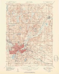
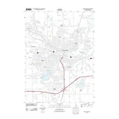
1947 Map of Battle Creek
USGS Topo · Published 1955About this map
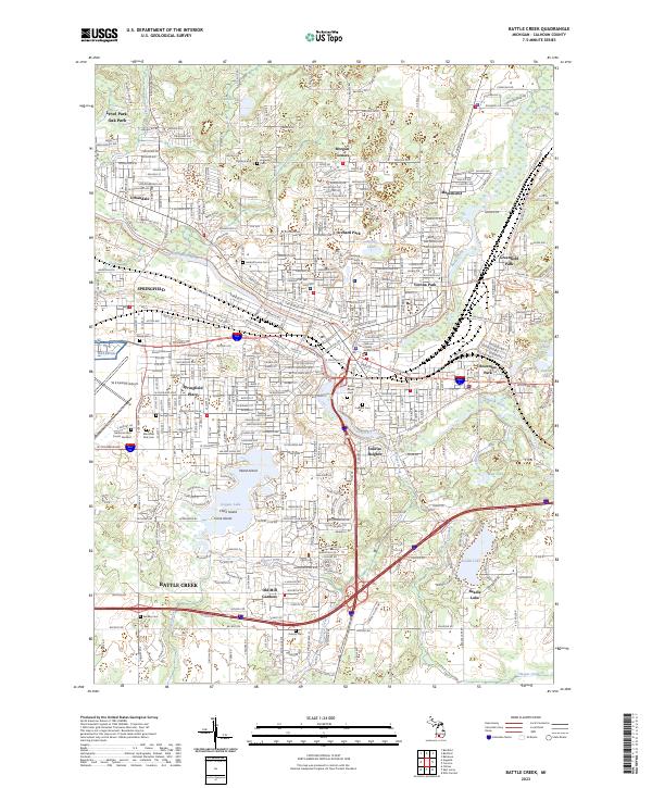
The confluence of Battle Creek and the Kalamazoo River anchors a landscape defined by mid-century industrial growth and institutional expansion in this post-war survey. Residential developments like Urbandale, Lakeview, and Orchard Park radiate from the city center, while significant medical facilities such as the Sanitarium and Percy Jones Gen Hosp reflect the area's role as a major regional healthcare and recovery hub. The industrial backbone of the city is evident in the sprawling rail infrastructure of the New York Central and Grand Trunk Western lines that service the core.
Find a feature on this map
93 named features on this map. Tap any name to fly to it.
Don’t see what you’re looking for? This feature index may not catch every label — zoom into the map to look around manually.
Map Details
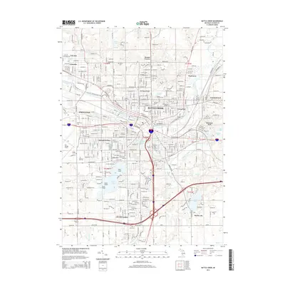
Editions of this 1947 Battle Creek Map
This is the sole edition of this map. No revisions or reprints were ever made.
Historical Maps of Battle Creek Through Time
10 maps found
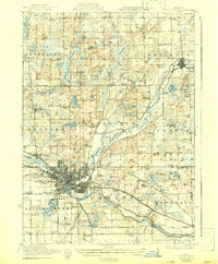
1918 Battle Creek
Calhoun County, MI

1943 Battle Creek
Calhoun County, MI
1947 Battle Creek
Calhoun County, MI
1950 Battle Creek
Calhoun County, MI
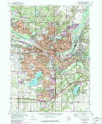
1961 Battle Creek
Calhoun County, MI
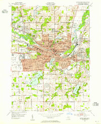
2011 Battle Creek
Calhoun County, MI
2014 Battle Creek
Calhoun County, MI
2017 Battle Creek
Calhoun County, MI
2019 Battle Creek
Calhoun County, MI
2023 Battle Creek
Calhoun County, MI
Featured Locations
- Pennfield Charter Township, MI
- Springfield, MI
- Battle Creek, MI
- Brownlee Park, Emmett Charter Township
- Morgan Corners, Bedford Charter Township