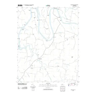
2010 Map of Bellwood
USGS Topo · Published 2010About this map
The Cumberland River carves a deep path through north-central Tennessee on this 2010 map, defining a landscape of dramatic bends and river-bottom bottomlands. The settlement of Centerville sits south of the river, acting as a focal point for a network of rural roads that connect family-owned tracts and historic burial grounds. Genealogists will find a high concentration of local history here, with numerous family-named landmarks such as Tomlinson Cemetery, Speck Cemetery, and Bass Cemetery scattered across the uplands. Significant terrain features like Spanish Needle Knob and the various bluffs—including Whites Bluff and Belchers Bluff—illustrate the varied elevation that overlooks the river. The presence of Old Hickory Lake and its associated islands, such as Cedar Creek Island, highlights the intersection of the natural river system and modern water management near the Coleman-Winston Memorial Bridge.
Find a feature on this map
97 named features on this map. Tap any name to fly to it.
Don’t see what you’re looking for? This feature index may not catch every label — zoom into the map to look around manually.
Map Details
Editions of this 2010 Bellwood Map
This is the sole edition of this map. No revisions or reprints were ever made.
Other maps of this area

1942 · Statesville
USGS Topo · 1:100,000

1942 · Gallatin
USGS Topo · 1:100,000

1942 · Lebanon
USGS Topo · 1:100,000

1951 · Lebanon
USGS Topo · 1:24,000

1955 · Bethpage
USGS Topo · 1:24,000

1955 · Hunters Point
USGS Topo · 1:24,000

1956 · Nashville
USGS Topo · 1:250,000

1958 · New Middleton
USGS Topo · 1:24,000

1958 · Bellwood
USGS Topo · 1:24,000

1958 · Dixon Springs
USGS Topo · 1:24,000