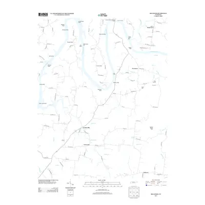
2013 Map of Bellwood
USGS Topo · Published 2013About this map
The Cumberland River carves a winding path through this northern Tennessee landscape, defining the character of the region with its dramatic bends and riverfront landmarks. Prominent features like Beasleys Bend and Puryears Bend dominate the waterway, while crossing points such as the Coleman-Winston Memorial Bridge and historic sites like Hartsville Landing and Griffins Landing emphasize the river’s role as a vital transportation corridor.
Find a feature on this map
110 named features on this map. Tap any name to fly to it.
Don’t see what you’re looking for? This feature index may not catch every label — zoom into the map to look around manually.
Map Details
Editions of this 2013 Bellwood Map
This is the sole edition of this map. No revisions or reprints were ever made.
Other maps of this area

1942 · Statesville
USGS Topo · 1:100,000

1942 · Gallatin
USGS Topo · 1:100,000

1942 · Lebanon
USGS Topo · 1:100,000

1951 · Lebanon
USGS Topo · 1:24,000

1955 · Bethpage
USGS Topo · 1:24,000

1955 · Hunters Point
USGS Topo · 1:24,000

1956 · Nashville
USGS Topo · 1:250,000

1958 · New Middleton
USGS Topo · 1:24,000

1958 · Bellwood
USGS Topo · 1:24,000

1958 · Dixon Springs
USGS Topo · 1:24,000