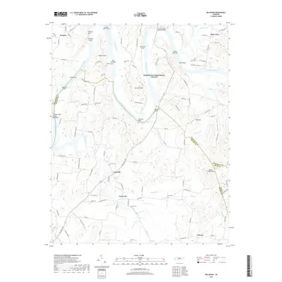
2019 Map of Bellwood
USGS Topo · Published 2019About this map
The Cumberland River meanders through a landscape defined by significant bends and islands at the intersection of Trousdale, Wilson, and Smith Counties. Steep bluffs such as Whitleys Bluff and Belchers Bluff overlook the river valley, while the Coleman-Winston Memorial Bridge provides a vital modern crossing near Hartsville Island. Small rural communities including Centerville, Taylorsville, and Bellwood anchor the southern portion of the sheet, connected by a network of winding local roads and numerous small stream crossings like Cedar Creek and Johnson Br.
Find a feature on this map
119 named features on this map. Tap any name to fly to it.
Don’t see what you’re looking for? This feature index may not catch every label — zoom into the map to look around manually.
Map Details
Editions of this 2019 Bellwood Map
This is the sole edition of this map. No revisions or reprints were ever made.
Other maps of this area

1942 · Statesville
USGS Topo · 1:100,000

1942 · Gallatin
USGS Topo · 1:100,000

1942 · Lebanon
USGS Topo · 1:100,000

1951 · Lebanon
USGS Topo · 1:24,000

1955 · Bethpage
USGS Topo · 1:24,000

1955 · Hunters Point
USGS Topo · 1:24,000

1956 · Nashville
USGS Topo · 1:250,000

1958 · New Middleton
USGS Topo · 1:24,000

1958 · Bellwood
USGS Topo · 1:24,000

1958 · Dixon Springs
USGS Topo · 1:24,000