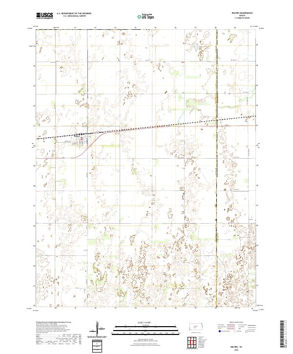
2022 Map of Belpre
USGS Topo · Published 2022About this map
Belpre serves as the primary hub for this portion of the western Kansas plains, situated along the corridor of Old Hwy 50. The town's grid is clearly delineated with residential streets such as Hudson Avenue, Tanner Street, and Baird Street, which intersect near the rail line that historically shaped the regional economy. Beyond the town limits, the landscape transitions into a vast expanse of agricultural sections defined by the Public Land Survey System, including Township 24 South, Range 16 West. The eastern edge of the quadrangle is marked by the Edwards and Stafford County line, where the terrain becomes increasingly characterized by depressions and seasonal water features. Wild Horse Creek meanders through the northeast, providing a natural drainage contrast to the rigid geometry of county roads like County Road 14 and County Road 53.
Find a feature on this map
24 named features on this map. Tap any name to fly to it.
Don’t see what you’re looking for? This feature index may not catch every label — zoom into the map to look around manually.
Map Details
Editions of this 2022 Belpre Map
This is the sole edition of this map. No revisions or reprints were ever made.
Other maps of this area

1889 · Larned
USGS Topo · 1:125,000

1889 · Kinsley
USGS Topo · 1:125,000

1891 · Great Bend
USGS Topo · 1:125,000

1891 · Larned
USGS Topo · 1:125,000

1892 · Kinsley
USGS Topo · 1:125,000

1892 · Pratt
USGS Topo · 1:125,000

1893 · Great Bend
USGS Topo · 1:125,000

1894 · Kinsley
USGS Topo · 1:125,000

1894 · Pratt
USGS Topo · 1:125,000

1955 · Great Bend
USGS Topo · 1:250,000