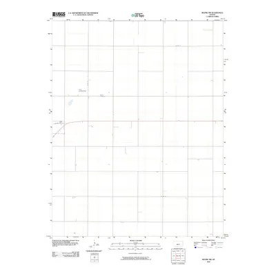
2009 Map of Belpre NW
USGS Topo · Published 2009About this map
Wayne Cemetery sits as a quiet landmark in this agricultural landscape of Edwards County, where the section-line road system forms a rigid grid across the plains. The terrain is defined by its wide open spaces and the utility of the land, illustrated by the presence of the Cross Landing Strip along Co Rd 39. These small private airfields are common fixtures of the modern Kansas farm economy, facilitating crop dusting and local transport. The map details a network of rural thoroughfares including Factory Ave, Co Rd 14, and Co Rd 26, which connect the scattered farmsteads and provide the essential infrastructure for the region’s agricultural output at the start of the 21st century.
Find a feature on this map
6 named features on this map. Tap any name to fly to it.
Don’t see what you’re looking for? This feature index may not catch every label — zoom into the map to look around manually.
Map Details
Editions of this 2009 Belpre NW Map
This is the sole edition of this map. No revisions or reprints were ever made.
Other maps of this area

1889 · Larned
USGS Topo · 1:125,000

1889 · Kinsley
USGS Topo · 1:125,000

1891 · Larned
USGS Topo · 1:125,000

1892 · Kinsley
USGS Topo · 1:125,000

1894 · Kinsley
USGS Topo · 1:125,000

1955 · Great Bend
USGS Topo · 1:250,000

1955 · Pratt
USGS Topo · 1:250,000

1957 · Great Bend
USGS Topo · 1:250,000

1958 · Great Bend
USGS Topo · 1:250,000

1959 · Pratt
USGS Topo · 1:250,000