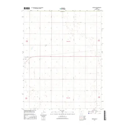
2015 Map of Belpre NW
USGS Topo · Published 2015About this map
Lewis serves as the primary population center in this part of Edwards Co, situated in the northwest corner of the map. The landscape is defined by the strict geometry of the Public Land Survey System, with section lines and local roads like Factory Ave and Co Rd 41 carving out a grid for agriculture and settlement. This systematic division of the plains is punctuated by markers of community history, such as the Wayne Cem, which stands as a quiet record of local families. A network of arterial routes, including 210th Ave and Co Rd 26, connects the scattered farmsteads and agricultural plots of the high plains, illustrating the enduring transport patterns of central Kansas during the early twenty-first century.
Find a feature on this map
26 named features on this map. Tap any name to fly to it.
Don’t see what you’re looking for? This feature index may not catch every label — zoom into the map to look around manually.
Map Details
Editions of this 2015 Belpre NW Map
This is the sole edition of this map. No revisions or reprints were ever made.
Other maps of this area

1889 · Larned
USGS Topo · 1:125,000

1889 · Kinsley
USGS Topo · 1:125,000

1891 · Larned
USGS Topo · 1:125,000

1892 · Kinsley
USGS Topo · 1:125,000

1894 · Kinsley
USGS Topo · 1:125,000

1955 · Great Bend
USGS Topo · 1:250,000

1955 · Pratt
USGS Topo · 1:250,000

1957 · Great Bend
USGS Topo · 1:250,000

1958 · Great Bend
USGS Topo · 1:250,000

1959 · Pratt
USGS Topo · 1:250,000