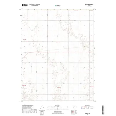
2018 Map of Belpre NW
USGS Topo · Published 2018About this map
Lewis serves as the primary settlement hub in this Western Kansas landscape, situated near the intersection of Factory Ave and several major county routes. The terrain is defined by a strictly organized section-line road network, where labeled thoroughfares such as Co Rd 39 and Co Rd 41 facilitate movement through the agricultural interior of Edwards County. A notable point for local history and genealogy is the Wayne Cem, located north of the town center near J Rd. The map illustrates a rural environment shaped by the Public Land Survey System, with township and range lines like t24s r17w marking the precise boundaries of land ownership and development in the early 21st century.
Find a feature on this map
26 named features on this map. Tap any name to fly to it.
Don’t see what you’re looking for? This feature index may not catch every label — zoom into the map to look around manually.
Map Details
Editions of this 2018 Belpre NW Map
This is the sole edition of this map. No revisions or reprints were ever made.
Other maps of this area

1889 · Larned
USGS Topo · 1:125,000

1889 · Kinsley
USGS Topo · 1:125,000

1891 · Larned
USGS Topo · 1:125,000

1892 · Kinsley
USGS Topo · 1:125,000

1894 · Kinsley
USGS Topo · 1:125,000

1955 · Great Bend
USGS Topo · 1:250,000

1955 · Pratt
USGS Topo · 1:250,000

1957 · Great Bend
USGS Topo · 1:250,000

1958 · Great Bend
USGS Topo · 1:250,000

1959 · Pratt
USGS Topo · 1:250,000