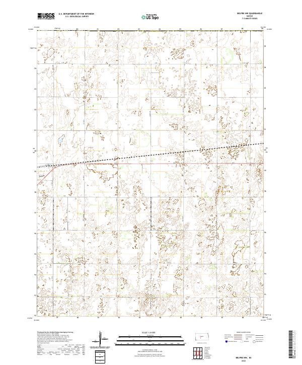
2022 Map of Belpre NW
USGS Topo · Published 2022About this map
Lewis serves as a focal point for this section of Edwards County, where the grid of the High Plains landscape is clearly defined by local roads and property boundaries. The settlement is positioned along Factory Ave, illustrating the intersection of residential life and the transit corridors that support the regional economy. This 2022 survey captures the modern configuration of the Kansas plains, showing how agricultural land is meticulously partitioned. While the terrain appears uniform, the subtle contours recorded by the U.S. Geological Survey reveal the drainage patterns and depressions that characterize this part of the state, providing a precise record of the physical environment as it exists today.
Find a feature on this map
2 named features on this map. Tap any name to fly to it.
Don’t see what you’re looking for? This feature index may not catch every label — zoom into the map to look around manually.
Map Details
Editions of this 2022 Belpre NW Map
This is the sole edition of this map. No revisions or reprints were ever made.
Other maps of this area

1889 · Larned
USGS Topo · 1:125,000

1889 · Kinsley
USGS Topo · 1:125,000

1891 · Larned
USGS Topo · 1:125,000

1892 · Kinsley
USGS Topo · 1:125,000

1894 · Kinsley
USGS Topo · 1:125,000

1955 · Great Bend
USGS Topo · 1:250,000

1955 · Pratt
USGS Topo · 1:250,000

1957 · Great Bend
USGS Topo · 1:250,000

1958 · Great Bend
USGS Topo · 1:250,000

1959 · Pratt
USGS Topo · 1:250,000