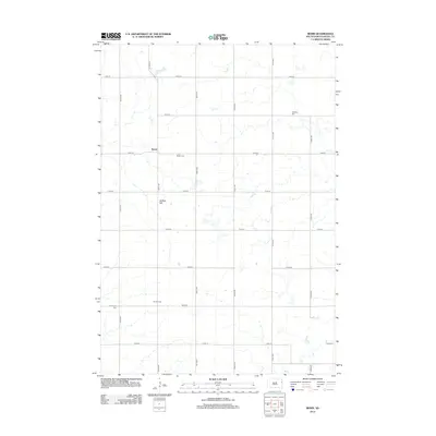
2012 Map of Bemis
USGS Topo · Published 2012About this map
Bemis serves as the central focal point of this Eastern South Dakota landscape, situated along the intersection of 176th St and 468th Ave. The surrounding rural township structure is defined by a precise grid of section roads that facilitate movement between isolated family farms and local burial grounds. Genealogists and local historians will find significant value in the distribution of several community cemeteries, including Bemis Cem, Swedish Cem, Havana Cem, and Evergreen Cem, which reflect the varied cultural and immigrant heritage of Deuel County. The terrain is marked by subtle shifts in elevation, most notably at Buffalo Hill, and the presence of numerous small prairie potholes and seasonal water bodies that characterize the region's hydrography. Modern infrastructure like CO Hwy-312 connects this agricultural area to the broader county network, preserving a record of the township's layout as it stood in the early 21st century.
Find a feature on this map
21 named features on this map. Tap any name to fly to it.
Don’t see what you’re looking for? This feature index may not catch every label — zoom into the map to look around manually.
Map Details
Editions of this 2012 Bemis Map
This is the sole edition of this map. No revisions or reprints were ever made.
Other maps of this area

1953 · Watertown
USGS Topo · 1:250,000

1958 · Watertown
USGS Topo · 1:250,000

1969 · Dempster
USGS Topo · 1:24,000

1970 · Kranzburg SW
USGS Topo · 1:24,000

1970 · Kranzburg
USGS Topo · 1:24,000

1970 · Bemis
USGS Topo · 1:24,000

1970 · Clear Lake South
USGS Topo · 1:24,000

1970 · Goodwin
USGS Topo · 1:24,000

1970 · Estelline NE
USGS Topo · 1:24,000

1973 · Tunerville
USGS Topo · 1:24,000