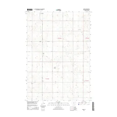
2015 Map of Bemis
USGS Topo · Published 2015About this map
Goodwin stands as the primary settlement in this section of Deuel County, situated on the high ground of the Coteau des Prairies. The landscape is a distinct grid of agricultural sections, marked by small pockets of water and the prominent elevation of Buffalo Hill. Local history is deeply rooted in the rural townships, evidenced by several small burial grounds including the Swedish Cem, Havana Cem, and Evergreen Cem. The hamlet of Bemis serves as another focal point for the region, centered near the Bemis Cem at the intersection of CR-312 and 176th ST. This modern survey by the U.S. Geological Survey documents the enduring structure of the Public Land Survey System across the prairie, where the road network strictly follows the section lines.
Find a feature on this map
23 named features on this map. Tap any name to fly to it.
Don’t see what you’re looking for? This feature index may not catch every label — zoom into the map to look around manually.
Map Details
Editions of this 2015 Bemis Map
This is the sole edition of this map. No revisions or reprints were ever made.
Other maps of this area

1953 · Watertown
USGS Topo · 1:250,000

1958 · Watertown
USGS Topo · 1:250,000

1969 · Dempster
USGS Topo · 1:24,000

1970 · Kranzburg SW
USGS Topo · 1:24,000

1970 · Kranzburg
USGS Topo · 1:24,000

1970 · Bemis
USGS Topo · 1:24,000

1970 · Clear Lake South
USGS Topo · 1:24,000

1970 · Goodwin
USGS Topo · 1:24,000

1970 · Estelline NE
USGS Topo · 1:24,000

1973 · Tunerville
USGS Topo · 1:24,000