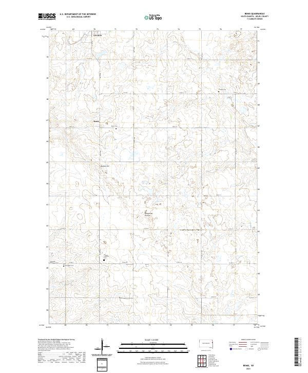
2021 Map of Bemis
USGS Topo · Published 2021About this map
The Coteau des Prairies plateau forms the foundation of this rural Deuel County landscape, characterized by the scattered glacial depressions and small water bodies that define this high prairie region. Small settlements like Goodwin and Bemis anchor a strictly orthogonal grid of township roads, reflecting the systematic land division of the Great Plains. For family historians, the sheet is particularly valuable for its density of community landmarks, including the Swedish Cem in the northeast and the clustered Havana Lutheran Cem and Christian Reformed Cem to the south. Significant elevations like Buffalo Hill rise above the surrounding terrain, which is carefully gridded by routes such as Co RD 312 and 174th ST. The map documents a contemporary agricultural landscape where legacy sites like Evergreen Cem persist alongside active township infrastructure.
Find a feature on this map
30 named features on this map. Tap any name to fly to it.
Don’t see what you’re looking for? This feature index may not catch every label — zoom into the map to look around manually.
Map Details
Editions of this 2021 Bemis Map
This is the sole edition of this map. No revisions or reprints were ever made.
Other maps of this area

1953 · Watertown
USGS Topo · 1:250,000

1958 · Watertown
USGS Topo · 1:250,000

1969 · Dempster
USGS Topo · 1:24,000

1970 · Kranzburg SW
USGS Topo · 1:24,000

1970 · Kranzburg
USGS Topo · 1:24,000

1970 · Bemis
USGS Topo · 1:24,000

1970 · Clear Lake South
USGS Topo · 1:24,000

1970 · Goodwin
USGS Topo · 1:24,000

1970 · Estelline NE
USGS Topo · 1:24,000

1973 · Tunerville
USGS Topo · 1:24,000