2022 Map of Bentley
USGS Topo · Published 2022About this map
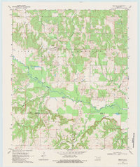
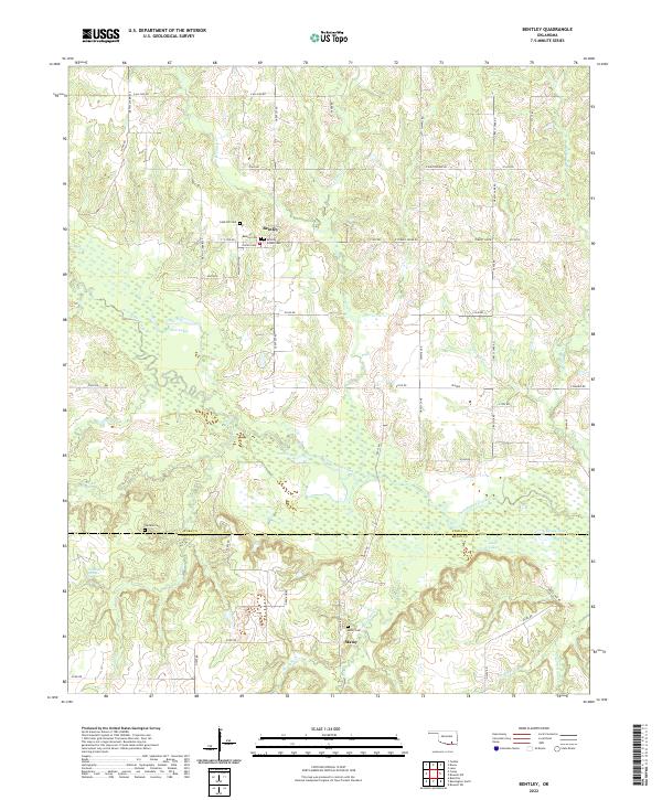
Bentley and Matoy anchor this region of southeastern Oklahoma, where the landscape is defined by the winding course of Clear Boggy Creek. This area, split by the Atoka Co and Bryan Co boundary, preserves a significant genealogical record through several distinct burial sites, including the Bentley Indian Cem, Cane Hill Cem, and Matoy Cem. The terrain is marked by numerous water bodies and drainage systems such as Crooked Cr, Grassy Lake, and Mossy Lake, reflecting the low-lying, riparian character of the Choctaw Nation territory.
Find a feature on this map
63 named features on this map. Tap any name to fly to it.
Don’t see what you’re looking for? This feature index may not catch every label — zoom into the map to look around manually.
Map Details
Editions of this 2022 Bentley Map
This is the sole edition of this map. No revisions or reprints were ever made.