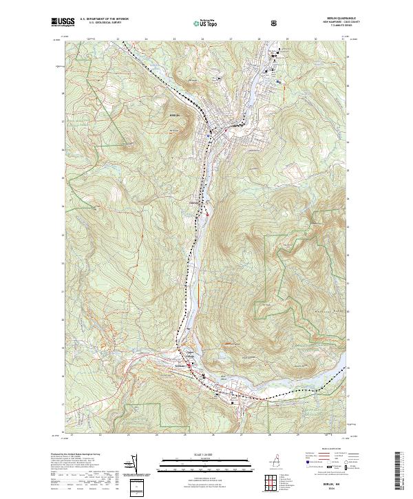
2024 Map of Berlin
USGS Topo · Published 2024About this map
The Androscoggin River carves a deep industrial and transit corridor through the heart of northern New Hampshire, anchoring the settlements of Berlin, Cascade, and Gorham. This modern cartographic study documents the complex cultural landscape where the paper-mill heritage of the North Country meets the sprawling wilderness of the White Mountain National Forest. The map is particularly notable for its dense cluster of denominational and municipal burial grounds in the north, including the Russian City Cem, Beth Israel Cem, and Saint Anne Cem, reflecting the diverse immigrant workforce that historically powered the local economy. Regional transport is defined by the St Lawrence & Atlantic RR and the Presidential Rec Rail Trl, while the high ridgelines of the Mahoosuc Range and Jericho Mtn. loom over the valley floor, highlighting the intersection of industrial development and outdoor recreation.
Find a feature on this map
148 named features on this map. Tap any name to fly to it.
Don’t see what you’re looking for? This feature index may not catch every label — zoom into the map to look around manually.
Map Details
Editions of this 2024 Berlin Map
This is the sole edition of this map. No revisions or reprints were ever made.