Loading...
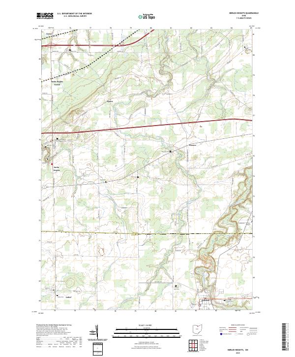
Loading map...2023 Map of Berlin Heights
USGS Topo · Published 2023About this map
Berlin Heights serves as the central hub of this northern Ohio landscape, where the agricultural plains of Erie Co meet Huron Co. The area is defined by a dense network of country roads and several small, historic settlements including Florence, Ogontz, and Berlin Heights Station. The terrain is cut by the winding course of the Vermilion River in the southeast and Chappel Creek running through the center, shaping the local topography.
Find a feature on this map
82 named features on this map. Tap any name to fly to it.
Don’t see what you’re looking for? This feature index may not catch every label — zoom into the map to look around manually.
Map Details
Date Portrayed2023
Date Published2023
PublisherU.S. Geological Survey
Map TypeTopographic
Scale1:24000
Physical Dimensions24 x 29 inches
Editions of this 2023 Berlin Heights Map
This is the sole edition of this map. No revisions or reprints were ever made.
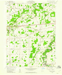
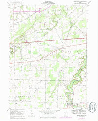
Historical Maps of Collins Through Time
3 maps found
Featured Locations
- Berlin Township, OH
- Wakeman, Wakeman Township
- Berlin Heights, Berlin Township
- Ceylon, Berlin Township
- Florence, Florence Township
Source Details
SourceU.S. Geological Survey
CopyrightPublic Domain