
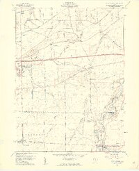
1959 Map of Berlin Heights
USGS Topo · Published 1960About this map
Berlin Heights and Wakeman anchor this 1959 study of north-central Ohio, revealing a landscape where the modern interstate era meets traditional agricultural roots. The newly constructed Ohio Turnpike cuts through the northern townships, while older networks like the New York Central and the New York Chicago and St Louis railroads continue to shape the local economy. The survey is particularly valuable for genealogists, documenting numerous family and community burial grounds such as Peakes Cem, Mauer Cem, and Cable Cem scattered across the farmland.
Find a feature on this map
38 named features on this map. Tap any name to fly to it.
Don’t see what you’re looking for? This feature index may not catch every label — zoom into the map to look around manually.
Map Details
Editions of this 1959 Berlin Heights Map
2 editions found
Other maps of this area

1903 · Vermilion
USGS Topo · 1:62,500

1904 · Sandusky
USGS Topo · 1:62,500

1908 · New London
USGS Topo · 1:62,500

1915 · Norwalk
USGS Topo · 1:62,500

1944 · Norwalk
USGS Topo · 1:62,500

1956 · Toledo
USGS Topo · 1:250,000

1959 · Milan
USGS Topo · 1:24,000

1959 · Vermilion East
USGS Topo · 1:24,000

1959 · Vermilion West
USGS Topo · 1:24,000

1959 · Kipton
USGS Topo · 1:24,000