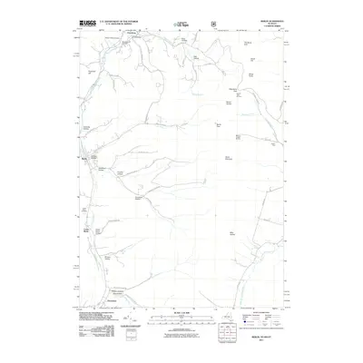
2011 Map of Berlin
USGS Topo · Published 2011About this map
The Little Hoosic River valley serves as the primary corridor for settlement in this 2011 survey, where the towns of Berlin and Petersburg are surrounded by a series of named hollows. The terrain is marked by distinctive topographic features such as The Snow Hole and Berlin Mountain, while the regional recreation history is represented by the Taconic Trails Ski Area and the Williams College Ski Area. Local families and early inhabitants are recorded through numerous hollows like Jones Hollow, Southeast Hollow, and Mattison Hollow, alongside well-placed burial grounds including Pleasant Valley Cemetery and Center Berlin Cemetery. This map captures a modern snapshot of a landscape where deep-seated agricultural roots, evidenced by sites like Haskin Farm, meet protected lands and managed forests. The transition from the valley floor to the high ridges of the Taconic Range is sharply defined, with the West Branch Green River and Dayfoot Brook draining the uplands.
Find a feature on this map
58 named features on this map. Tap any name to fly to it.
Don’t see what you’re looking for? This feature index may not catch every label — zoom into the map to look around manually.
Map Details
Editions of this 2011 Berlin Map
This is the sole edition of this map. No revisions or reprints were ever made.
Other maps of this area

1886 · Greylock
USGS Topo · 1:62,500

1888 · Berlin
USGS Topo · 1:62,500

1890 · Berlin
USGS Topo · 1:62,500

1891 · Greylock
USGS Topo · 1:62,500

1893 · Greylock
USGS Topo · 1:62,500

1894 · Berlin
USGS Topo · 1:62,500

1897 · Hoosick
USGS Topo · 1:62,500

1898 · Berlin
USGS Topo · 1:62,500

1898 · Bennington
USGS Topo · 1:62,500

1898 · Greylock
USGS Topo · 1:62,500