
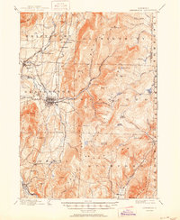
1898 Map of Bennington
USGS Topo · Published 1898About this map
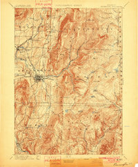
Bennington serves as the hub of this late 19th-century landscape, where a sophisticated network of railroads and industrial villages meet the steep slopes of the Glastenbury Mountain range. The map reveals a high concentration of rail infrastructure, including the Rutland R R and the Bennington Electric R R, which connect established settlements like North Bennington and South Shaftsbury. The prevalence of brook names and manufacturing sites, such as Papermill Village, highlights an economy deeply tied to water power and timber from the surrounding highlands. To the east, the terrain rises sharply toward Glastonbury Mt, where remote landmarks like Camp Comfort and Beaver Meadows reflect the area's transition into the wilderness of the Hoosac Range. These detailed topographies provide a clear view of Vermont's valley settlements and their mountain frontiers before the turn of the century.
Find a feature on this map
77 named features on this map. Tap any name to fly to it.
Don’t see what you’re looking for? This feature index may not catch every label — zoom into the map to look around manually.
Map Details
Editions of this 1898 Bennington Map
10 editions found
1898 edition
16.89 x 20.58 inches
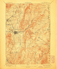
1901 edition
16.5 x 20 inches
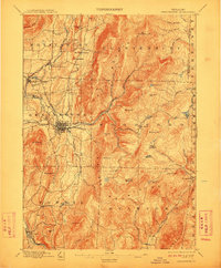
1906 edition
16.6 x 19.9 inches
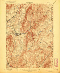
1912 edition
16.5 x 20 inches
1920 edition
16.4 x 19.8 inches
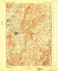
1928 edition
16.3 x 19.8 inches
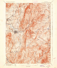
1936 edition
16.4 x 19.7 inches
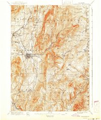
1941 edition
16.6 x 19.83 inches
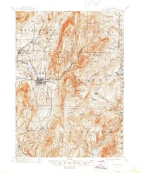
1945 edition
16.93 x 20.75 inches
1950 edition
16.9 x 20.7 inches
Other maps of this area

1886 · Greylock
USGS Topo · 1:62,500

1886 · Hawley
USGS Topo · 1:62,500

1888 · Berlin
USGS Topo · 1:62,500

1889 · Wilmington
USGS Topo · 1:62,500

1890 · Hawley
USGS Topo · 1:62,500

1890 · Berlin
USGS Topo · 1:62,500

1891 · Wilmington
USGS Topo · 1:62,500

1891 · Greylock
USGS Topo · 1:62,500

1893 · Greylock
USGS Topo · 1:62,500

1894 · Berlin
USGS Topo · 1:62,500