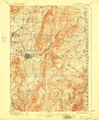
1898 Map of Bennington
USGS Topo · Published 1928About this map
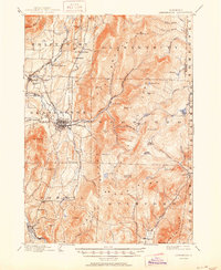
Bennington stands as the primary hub of this Vermont landscape, where the concentrated street grid reflects its role as a regional center of commerce and industry at the end of the 19th century. The transportation network is remarkably dense, featuring the Bennington & Glastenbury Electric R.R. stretching eastward into the higher elevations toward Camp Comfort, alongside the Rutland R.R. and Lebanon Springs R.R.. This convergence of rail lines underscores the area's importance as a gateway between the Hudson Valley and the Green Mountains.
Find a feature on this map
89 named features on this map. Tap any name to fly to it.
Don’t see what you’re looking for? This feature index may not catch every label — zoom into the map to look around manually.
Map Details
Editions of this 1898 Bennington Map
10 editions found

1898 edition
16.89 x 20.58 inches
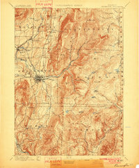
1901 edition
16.5 x 20 inches
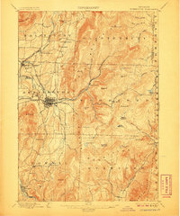
1906 edition
16.6 x 19.9 inches
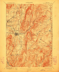
1912 edition
16.5 x 20 inches
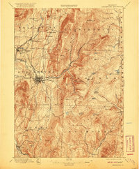
1920 edition
16.4 x 19.8 inches
1928 edition
16.3 x 19.8 inches
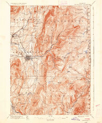
1936 edition
16.4 x 19.7 inches
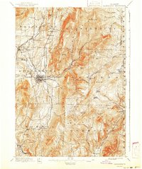
1941 edition
16.6 x 19.83 inches
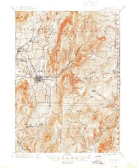
1945 edition
16.93 x 20.75 inches
1950 edition
16.9 x 20.7 inches
Other maps of this area

1886 · Greylock
USGS Topo · 1:62,500

1886 · Hawley
USGS Topo · 1:62,500

1888 · Berlin
USGS Topo · 1:62,500

1889 · Wilmington
USGS Topo · 1:62,500

1890 · Hawley
USGS Topo · 1:62,500

1890 · Berlin
USGS Topo · 1:62,500

1891 · Wilmington
USGS Topo · 1:62,500

1891 · Greylock
USGS Topo · 1:62,500

1893 · Greylock
USGS Topo · 1:62,500

1894 · Berlin
USGS Topo · 1:62,500