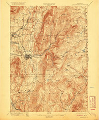
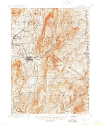
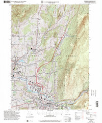
1898 Map of Bennington
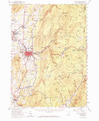
USGS Topo · Published 1950About this map
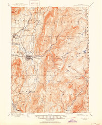
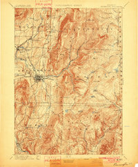
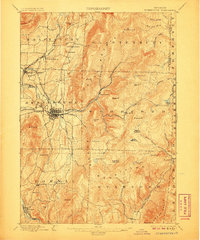
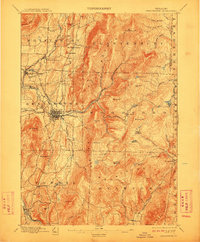
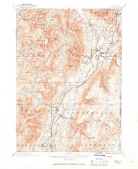
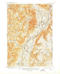
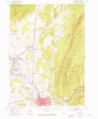
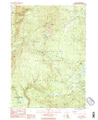
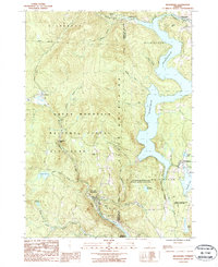
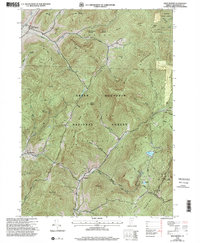
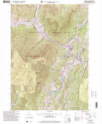
The industrial and mountain landscapes of southern Vermont converge here, where the Walloomsac River and the Hoosic River define the valley floors. In the late 19th century, this region was a hub of rail activity, with the Rutland R. R. and the Bennington and Rutland R. R. meeting in Bennington, while an early Electric R. R. stretched toward the mountains. The map reveals a dense network of smaller mill settlements and crossroads like Papermill Village and South Shaftsbury.
Find a feature on this map
84 named features on this map. Tap any name to fly to it.
Don’t see what you’re looking for? This feature index may not catch every label — zoom into the map to look around manually.
Map Details
Editions of this 1898 Bennington Map
10 editions found

1898 edition
16.89 x 20.58 inches
1901 edition
16.5 x 20 inches
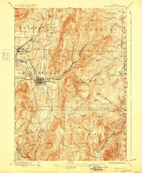
1906 edition
16.6 x 19.9 inches
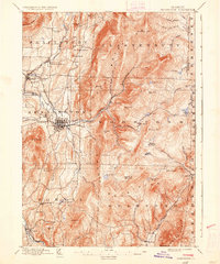
1912 edition
16.5 x 20 inches
1920 edition
16.4 x 19.8 inches
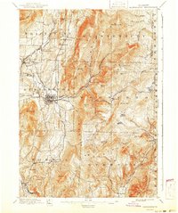
1928 edition
16.3 x 19.8 inches
1936 edition
16.4 x 19.7 inches
1941 edition
16.6 x 19.83 inches
1945 edition
16.93 x 20.75 inches
1950 edition
16.9 x 20.7 inches
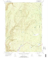
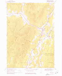
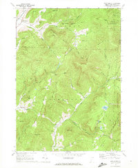
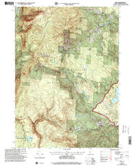
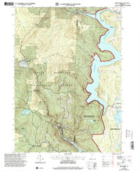
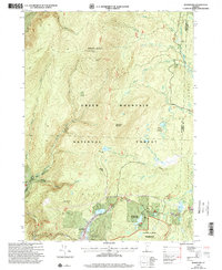
Historical Maps of Bennington Through Time
29 maps found
1894 Equinox
Bennington County, VT

1896 Equinox
Bennington County, VT
1898 Bennington
Bennington County, VT
1900 Equinox
Bennington County, VT
1954 Bennington
Bennington County, VT
1954 Bennington
Bennington County, VT
1954 Woodford
Bennington County, VT
1967 Arlington
Bennington County, VT
1967 West Rupert
Bennington County, VT

1968 Manchester
Bennington County, VT

1968 Sunderland
Bennington County, VT
1986 Peru
Bennington County, VT
1987 Readsboro
Bennington County, VT
1995 West Rupert
Bennington County, VT
1997 Arlington
Bennington County, VT
1997 Bennington
Bennington County, VT

1997 Manchester
Bennington County, VT
1997 Peru
Bennington County, VT
1997 Readsboro
Bennington County, VT

1997 Sunderland
Bennington County, VT
1997 Woodford
Bennington County, VT
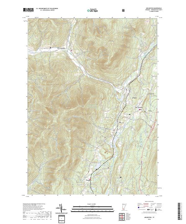
2024 Arlington
Bennington County, VT
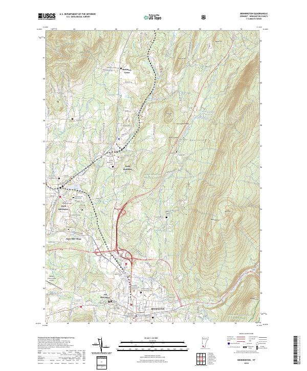
2024 Bennington
Bennington County, VT
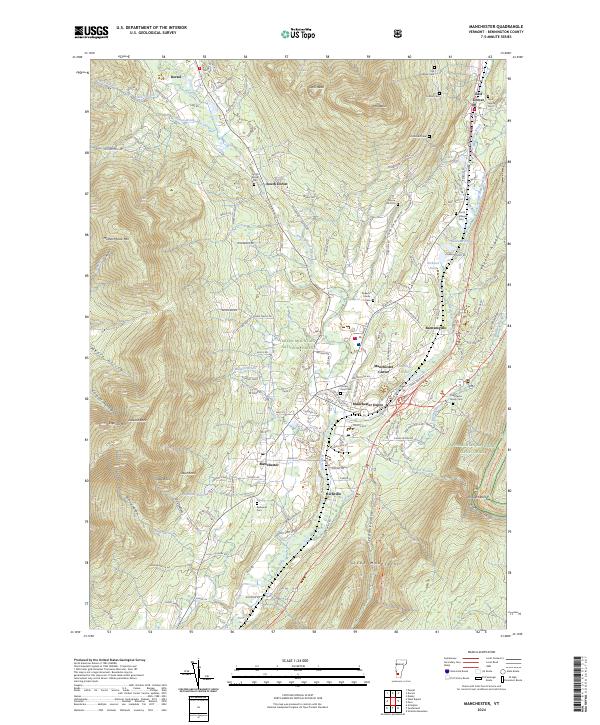
2024 Manchester
Bennington County, VT
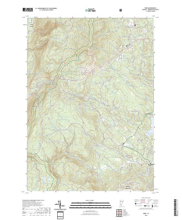
2024 Peru
Bennington County, VT
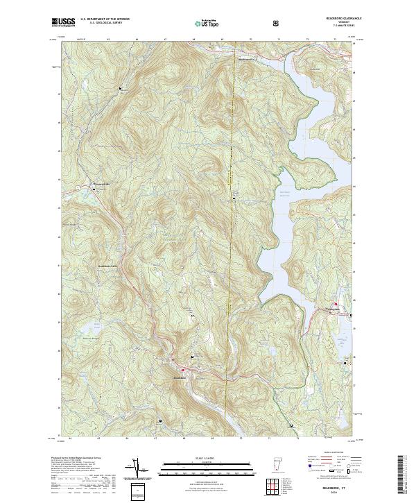
2024 Readsboro
Bennington County, VT
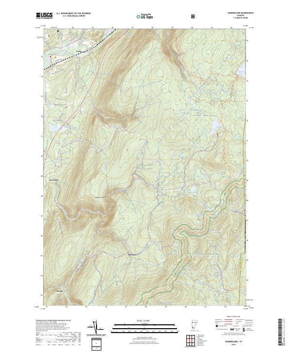
2024 Sunderland
Bennington County, VT
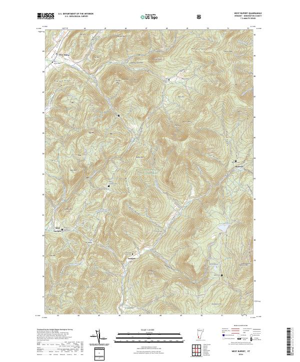
2024 West Rupert
Bennington County, VT
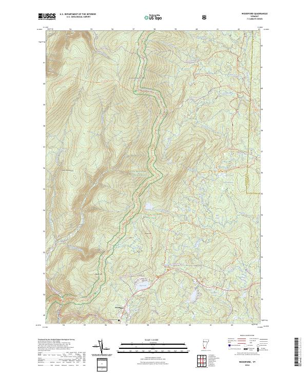
2024 Woodford
Bennington County, VT