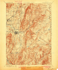
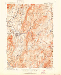
1898 Map of Bennington
USGS Topo · Published 1901About this map
Bennington serves as the industrial and transit hub of this Southwestern Vermont landscape, where the Walloomsac River and South Stream meet. At the turn of the century, the region was defined by a dense network of rail lines, including the Bennington & Rutland RR and the specialized Bennington & Woodford Electric RR, which climbed eastward into the steep Green Mountains. The map reveals the clear division between the valley floor's manufacturing centers, such as Papermill Village, and the high timberlands of Glastenbury and Woodford.
Find a feature on this map
82 named features on this map. Tap any name to fly to it.
Don’t see what you’re looking for? This feature index may not catch every label — zoom into the map to look around manually.
Map Details
Editions of this 1898 Bennington Map
10 editions found

1898 edition
16.89 x 20.58 inches
1901 edition
16.5 x 20 inches
1906 edition
16.6 x 19.9 inches
1912 edition
16.5 x 20 inches
1920 edition
16.4 x 19.8 inches
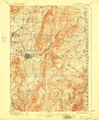
1928 edition
16.3 x 19.8 inches
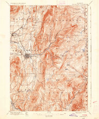
1936 edition
16.4 x 19.7 inches
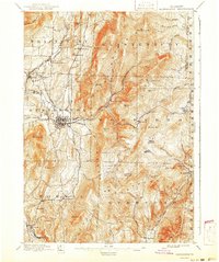
1941 edition
16.6 x 19.83 inches
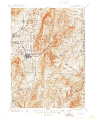
1945 edition
16.93 x 20.75 inches
1950 edition
16.9 x 20.7 inches
Other maps of this area

1886 · Greylock
USGS Topo · 1:62,500

1886 · Hawley
USGS Topo · 1:62,500

1888 · Berlin
USGS Topo · 1:62,500

1889 · Wilmington
USGS Topo · 1:62,500

1890 · Hawley
USGS Topo · 1:62,500

1890 · Berlin
USGS Topo · 1:62,500

1891 · Wilmington
USGS Topo · 1:62,500

1891 · Greylock
USGS Topo · 1:62,500

1893 · Greylock
USGS Topo · 1:62,500

1894 · Berlin
USGS Topo · 1:62,500