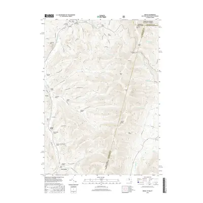
2016 Map of Berlin
USGS Topo · Published 2016About this map
The Taconic Range dominates this 2016 survey, where the borders of New York, Massachusetts, and Vermont converge amidst a series of deeply etched hollows. Settlement patterns cling to the valley floors, particularly along the Little Hoosick River and its various tributaries. The village of Berlin and the smaller community of Center Berlin serve as primary points of reference, surrounded by numerous namesake valleys like Greene Hollow, Cowdry Hollow, and Mattison Hollow.
Find a feature on this map
84 named features on this map. Tap any name to fly to it.
Don’t see what you’re looking for? This feature index may not catch every label — zoom into the map to look around manually.
Map Details
Editions of this 2016 Berlin Map
This is the sole edition of this map. No revisions or reprints were ever made.
Other maps of this area

1886 · Greylock
USGS Topo · 1:62,500

1888 · Berlin
USGS Topo · 1:62,500

1890 · Berlin
USGS Topo · 1:62,500

1891 · Greylock
USGS Topo · 1:62,500

1893 · Greylock
USGS Topo · 1:62,500

1894 · Berlin
USGS Topo · 1:62,500

1897 · Hoosick
USGS Topo · 1:62,500

1898 · Berlin
USGS Topo · 1:62,500

1898 · Bennington
USGS Topo · 1:62,500

1898 · Greylock
USGS Topo · 1:62,500