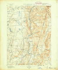
1890 Map of Berlin
USGS Topo · Published 1890About this map
Berlin and its neighboring villages sit at the heart of this late nineteenth-century study of the New York and Massachusetts borderlands. The landscape is defined by the heavy presence of the Taconic Range, with Berlin Mtn. and Potter Mtn. framing a valley dominated by the Lebanon Springs Railroad. This rail line serves as the primary artery for a string of rural settlements, including Berlin Center, South Berlin, and North Stephentown, where a dedicated Station marks the transport hub.
Find a feature on this map
54 named features on this map. Tap any name to fly to it.
Don’t see what you’re looking for? This feature index may not catch every label — zoom into the map to look around manually.
Map Details
Editions of this 1890 Berlin Map
This is the sole edition of this map. No revisions or reprints were ever made.
Other maps of this area

1886 · Greylock
USGS Topo · 1:62,500
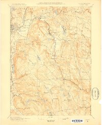
1886 · Becket
USGS Topo · 1:62,500
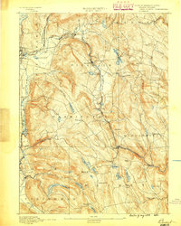
1888 · Becket
USGS Topo · 1:62,500
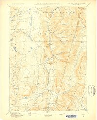
1888 · Berlin
USGS Topo · 1:62,500
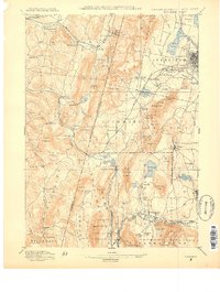
1888 · Pittsfield
USGS Topo · 1:62,500
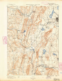
1890 · Pittsfield
USGS Topo · 1:62,500
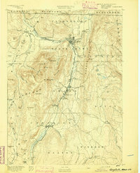
1891 · Greylock
USGS Topo · 1:62,500
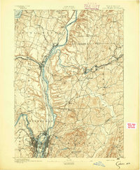
1893 · Cohoes
USGS Topo · 1:62,500
1893 · Troy
USGS Topo · 1:62,500
1893 · Becket
USGS Topo · 1:62,500