
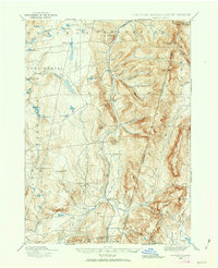
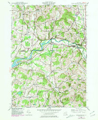
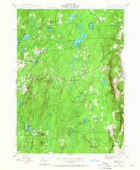
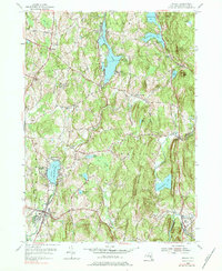
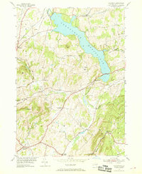
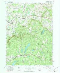
1988 Map of Berlin
USGS Topo · Published 1988This historical map portrays the area of Berlin in 1988, primarily covering Rensselaer County as well as portions of Massachusetts and Vermont. Featuring a scale of 1:25000, this map provides a highly detailed snapshot of the terrain, roads, buildings, counties, and historical landmarks in the Berlin region at the time. Published in 1988, it is the sole known edition of this map.
Find a feature on this map
80 named features on this map. Tap any name to fly to it.
Don’t see what you’re looking for? This feature index may not catch every label — zoom into the map to look around manually.
Map Details
Editions of this 1988 Berlin Map
This is the sole edition of this map. No revisions or reprints were ever made.
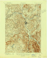
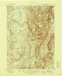
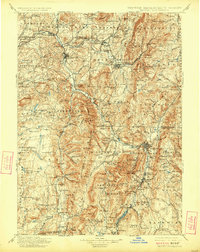
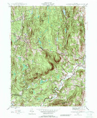
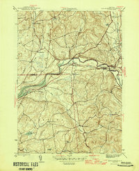
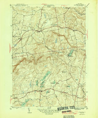
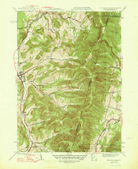
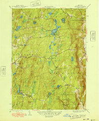
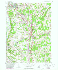
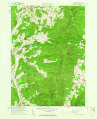
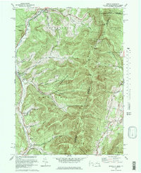
Historical Maps of East Poestenkill Through Time
33 maps found
1888 Berlin
Rensselaer County, NY
1897 Hoosick
Rensselaer County, NY
1898 Berlin
Rensselaer County, NY
1900 Taconic
Rensselaer County, NY

1944 Berlin
Rensselaer County, NY
1944 Eagle Bridge
Rensselaer County, NY
1945 Stephentown Center
Rensselaer County, NY
1946 Eagle Bridge
Rensselaer County, NY
1946 Grafton
Rensselaer County, NY
1946 Taborton
Rensselaer County, NY

1947 Stephentown Center
Rensselaer County, NY
1948 Berlin
Rensselaer County, NY

1948 Stephentown Center
Rensselaer County, NY
1948 Taborton
Rensselaer County, NY

1950 Eagle Bridge
Rensselaer County, NY

1950 Taborton
Rensselaer County, NY
1953 East Greenbush
Rensselaer County, NY
1953 Nassau
Rensselaer County, NY
1953 Troy South
Rensselaer County, NY
1954 Grafton
Rensselaer County, NY
1954 Schaghticoke
Rensselaer County, NY
1954 Tomhannock
Rensselaer County, NY
1960 Berlin
Rensselaer County, NY
1973 Berlin
Rensselaer County, NY

1975 Berlin
Rensselaer County, NY
1978 East Greenbush
Rensselaer County, NY
1978 Grafton
Rensselaer County, NY
1978 Troy South
Rensselaer County, NY
1988 Berlin
Rensselaer County, NY

1988 Stephentown Center
Rensselaer County, NY
1997 Berlin
Rensselaer County, NY
1998 Berlin
Rensselaer County, NY

1998 Stephentown Center
Rensselaer County, NY