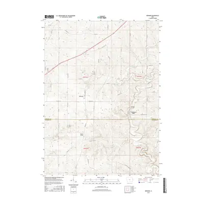
2015 Map of Bernard
USGS Topo · Published 2015About this map
Bernard sits at the heart of this rural landscape, marking the transition between the agricultural uplands and the creek valleys of Eastern Iowa. The survey reveals a community anchored by local landmarks such as Washington Mills and the Washington Mill Bridge, which spans the winding course of Lytle Creek. The topography is defined by the drainage networks of Prairie Creek and Buncombe Cr, with family-named routes like Mc Andrews Rd and Fischer Rd weaving through the hills. Genealogists will find significance in the presence of Sacred Heart Cem and Saint Patrick's Cem, which serve as quiet identifiers for the heritage of Garry Owen and the surrounding townships. The line of the Dubuque Co Jackson Co boundary bisects the lower third of the quadrangle, highlighting the intersection of these two historic counties along Mcdevitt Ln and the Bellevue Cascade Rd.
Find a feature on this map
54 named features on this map. Tap any name to fly to it.
Don’t see what you’re looking for? This feature index may not catch every label — zoom into the map to look around manually.
Map Details
Editions of this 2015 Bernard Map
This is the sole edition of this map. No revisions or reprints were ever made.
Other maps of this area

1891 · Maquoketa
USGS Topo · 1:62,500

1891 · Baldwin
USGS Topo · 1:62,500

1901 · Peosta
USGS Topo · 1:125,000

1935 · East Dubuque
USGS Topo · 1:62,500

1940 · East Dubuque
USGS Topo · 1:62,500

1955 · Dubuque South
USGS Topo · 1:24,000

1959 · Dubuque
USGS Topo · 1:250,000

1961 · Dubuque
USGS Topo · 1:250,000

1962 · Dubuque
USGS Topo · 1:250,000

1962 · Zwingle
USGS Topo · 1:24,000