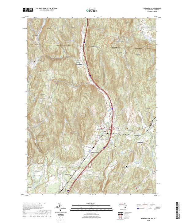
2024 Map of Bernardston
USGS Topo · Published 2024About this map
The Fall River valley carves through this northern Massachusetts landscape, serving as a primary corridor for travel and settlement near the Vermont border. The town of Bernardston acts as a central hub, surrounded by smaller historical clusters such as North Bernardston, Hales Crossing, and Beaver Meadow. This modern mapping captures the area's intricate drainage patterns, including Shattuck Brook and Roaring Brook, which flow from high points like West Hill and The Pinnacle. In the southern portion of the sheet, the northern reaches of Greenfield and the fertile Greenfield Meadows reflect the long-standing agricultural and residential expansion of the Pioneer Valley.
Find a feature on this map
123 named features on this map. Tap any name to fly to it.
Don’t see what you’re looking for? This feature index may not catch every label — zoom into the map to look around manually.
Map Details
Editions of this 2024 Bernardston Map
This is the sole edition of this map. No revisions or reprints were ever made.
Other maps of this area

1887 · Warwick
USGS Topo · 1:62,500

1889 · Warwick
USGS Topo · 1:62,500

1890 · Greenfield
USGS Topo · 1:62,500

1891 · Brattleboro
USGS Topo · 1:62,500

1893 · Brattleboro
USGS Topo · 1:62,500

1894 · Greenfield
USGS Topo · 1:62,500

1894 · Warwick
USGS Topo · 1:62,500

1898 · Keene
USGS Topo · 1:62,500

1932 · Brattleboro
USGS Topo · 1:48,000

1932 · Warwick
USGS Topo · 1:48,000