
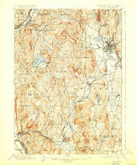
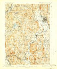
1898 Map of Keene
USGS Topo · Published 1898About this map
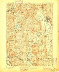
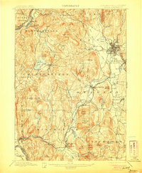
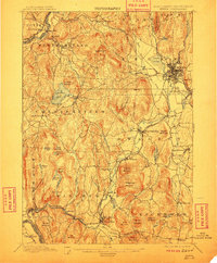
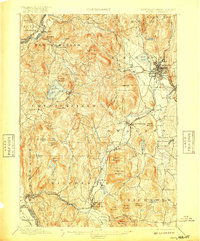
Keene sits as a bustling rail and industrial hub at the turn of the century, where the Fitchburg Division and Cheshire Br converge. The Ashuelot River and its tributaries, such as Otter Brook and The Branch, dictate the settlement patterns of the surrounding valleys, supporting mills and timber operations in West Swanzey and Ashuelot. This late-Victorian landscape is deeply agricultural and resource-driven, shown through the network of farms and secondary roads connecting Chesterfield to the Connecticut River border.
Find a feature on this map
82 named features on this map. Tap any name to fly to it.
Don’t see what you’re looking for? This feature index may not catch every label — zoom into the map to look around manually.
Map Details
Editions of this 1898 Keene Map
7 editions found
Other maps of this area

1887 · Warwick
USGS Topo · 1:62,500

1887 · Winchendon
USGS Topo · 1:62,500

1889 · Warwick
USGS Topo · 1:62,500

1890 · Greenfield
USGS Topo · 1:62,500

1890 · Winchendon
USGS Topo · 1:62,500

1891 · Brattleboro
USGS Topo · 1:62,500

1893 · Brattleboro
USGS Topo · 1:62,500

1894 · Winchendon
USGS Topo · 1:62,500

1894 · Greenfield
USGS Topo · 1:62,500

1894 · Warwick
USGS Topo · 1:62,500