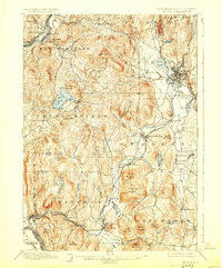
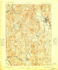
1898 Map of Keene
USGS Topo · Published 1925About this map
Keene serves as the focal point of this late 19th-century New Hampshire survey, where the Ashuelot River and its many tributaries, including Otter Brook and Ash Swamp Brook, carve through a landscape of prominent peaks and granite ledges. The industrial and transit character of the era is evidenced by the rail network connecting East Putney Sta. on the Connecticut River to the inland hubs of West Swanzey and Winchester via the Fitchburg Division and Cheshire Division.
Find a feature on this map
79 named features on this map. Tap any name to fly to it.
Don’t see what you’re looking for? This feature index may not catch every label — zoom into the map to look around manually.
Map Details
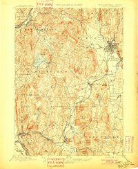
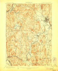
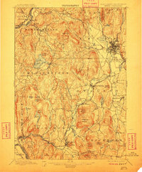
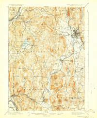
Editions of this 1898 Keene Map
7 editions found

Other maps of this area

1887 · Warwick
USGS Topo · 1:62,500

1887 · Winchendon
USGS Topo · 1:62,500

1889 · Warwick
USGS Topo · 1:62,500

1890 · Greenfield
USGS Topo · 1:62,500

1890 · Winchendon
USGS Topo · 1:62,500

1891 · Brattleboro
USGS Topo · 1:62,500

1893 · Brattleboro
USGS Topo · 1:62,500

1894 · Winchendon
USGS Topo · 1:62,500

1894 · Greenfield
USGS Topo · 1:62,500

1894 · Warwick
USGS Topo · 1:62,500