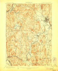
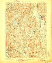
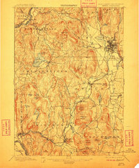
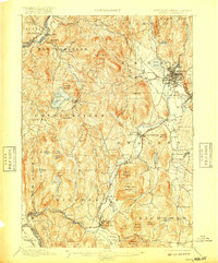
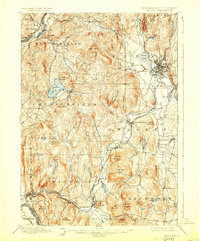
1898 Map of Keene
USGS Topo · Published 1906About this map
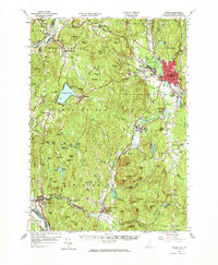
Keene serves as the industrial and transit hub of this late-19th-century landscape, where the Cheshire Br and Monadnock Division railroads converge amidst a network of active river valleys. The topography is defined by the Ashuelot River, which powers settlements from West Swanzey down to Winchester. This era shows a well-established rural economy, where small mill towns and stations like East Putney Sta and South Keene line the tracks.
Find a feature on this map
84 named features on this map. Tap any name to fly to it.
Don’t see what you’re looking for? This feature index may not catch every label — zoom into the map to look around manually.
Map Details
Editions of this 1898 Keene Map
7 editions found

Historical Maps of Keene Through Time
13 maps found
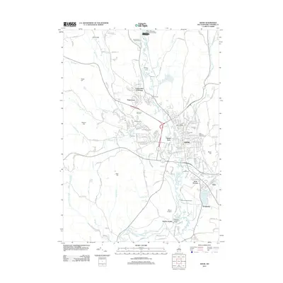
1898 Keene
Cheshire County, NH
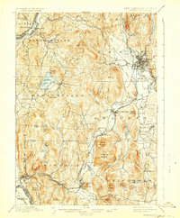
1932 Keene
Cheshire County, NH
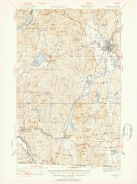
1935 Keene
Cheshire County, NH

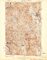
1942 Keene
Cheshire County, NH
1958 Keene
Cheshire County, NH
1984 Keene
Cheshire County, NH
1986 Keene
Cheshire County, NH
1998 Keene
Cheshire County, NH
2012 Keene
Cheshire County, NH
2015 Keene
Cheshire County, NH
2018 Keene
Cheshire County, NH

2021 Keene
Cheshire County, NH
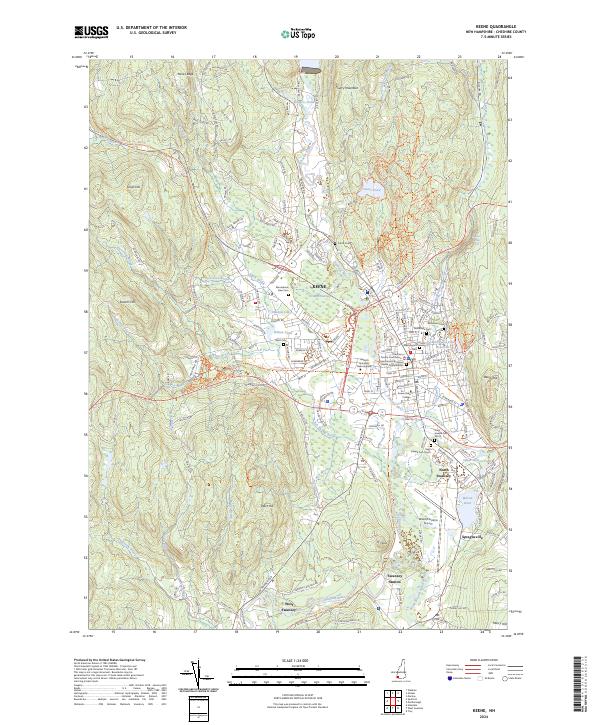
2024 Keene
Cheshire County, NH