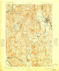
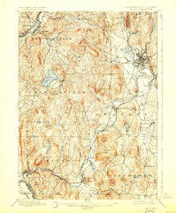
1898 Map of Keene
USGS Topo · Published 1917About this map
Keene serves as the industrial and transportation hub of this southwestern New Hampshire landscape, where the Cheshire Branch and Fitchburg Division railroads converge. The topography is defined by the Ashuelot River valley and a series of prominent peaks, including Mount Pisgah and Rattlesnake Mountain. Settlement patterns in the late nineteenth century were concentrated in villages such as Westmoreland, Chesterfield, and Winchester, while the Connecticut River forms the western boundary, crossed by Wares Ferry.
Find a feature on this map
82 named features on this map. Tap any name to fly to it.
Don’t see what you’re looking for? This feature index may not catch every label — zoom into the map to look around manually.
Map Details
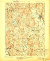
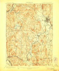
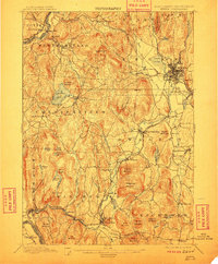
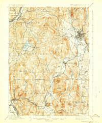
Editions of this 1898 Keene Map
7 editions found

Other maps of this area

1887 · Warwick
USGS Topo · 1:62,500

1887 · Winchendon
USGS Topo · 1:62,500

1889 · Warwick
USGS Topo · 1:62,500

1890 · Greenfield
USGS Topo · 1:62,500

1890 · Winchendon
USGS Topo · 1:62,500

1891 · Brattleboro
USGS Topo · 1:62,500

1893 · Brattleboro
USGS Topo · 1:62,500

1894 · Winchendon
USGS Topo · 1:62,500

1894 · Greenfield
USGS Topo · 1:62,500

1894 · Warwick
USGS Topo · 1:62,500