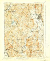
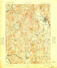
1898 Map of Keene
USGS Topo · Published 1930About this map
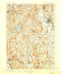
Keene serves as the focal point of this late 19th-century survey, revealing the dense street grid and rail infrastructure of the city at the edge of Tenant Swamp. The landscape is dominated by the Ashuelot River and its many tributaries, which supported the early industrial growth of villages like West Swanzey and Ashuelot. Transportation networks of the era are clearly defined, from the Boston and Maine R.R. lines following the river valleys to Ware's Ferry crossing the Connecticut River on the western edge. Genealogists can identify significant cultural landmarks such as Meetinghouse Hill in Winchester and the many named cemeteries and schools that dotted the townships of Swanzey and Richmond before modern development altered these rural corridors. The topography is meticulously detailed, showcasing prominent heights like Mount Pisgah and Pistareen Mountain overlooking Spofford Lake.
Find a feature on this map
84 named features on this map. Tap any name to fly to it.
Don’t see what you’re looking for? This feature index may not catch every label — zoom into the map to look around manually.
Map Details
Editions of this 1898 Keene Map
7 editions found

Other maps of this area

1887 · Warwick
USGS Topo · 1:62,500

1887 · Winchendon
USGS Topo · 1:62,500

1889 · Warwick
USGS Topo · 1:62,500

1890 · Greenfield
USGS Topo · 1:62,500

1890 · Winchendon
USGS Topo · 1:62,500

1891 · Brattleboro
USGS Topo · 1:62,500

1893 · Brattleboro
USGS Topo · 1:62,500

1894 · Winchendon
USGS Topo · 1:62,500

1894 · Greenfield
USGS Topo · 1:62,500

1894 · Warwick
USGS Topo · 1:62,500