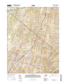
2016 Map of Berryville
USGS Topo · Published 2016About this map
Berryville serves as the central hub of this landscape, situated at the intersection of several regional thoroughfares including the Berryville Pike. The town's historical depth is evident in the cluster of burial sites such as Grace Cem and Green Hill Cem. The surrounding Virginia and West Virginia countryside is defined by a dense network of family farms and springs, such as Locust Hill Farm Spring and Joseph Bell Farm Spring, reflecting the area's enduring agricultural character. To the south, the Shenandoah River snakes past Shenandoah Retreat, marking a transition from the structured street grids of the settlements to the winding waterways. Further north, the landscape includes specialized facilities like the Pickles Airport and the complex road circuits of Summit Point, illustrating how modern recreation and transport have integrated into the older rural framework of Jamestown and Wheatland.
Find a feature on this map
145 named features on this map. Tap any name to fly to it.
Don’t see what you’re looking for? This feature index may not catch every label — zoom into the map to look around manually.
Map Details
Editions of this 2016 Berryville Map
This is the sole edition of this map. No revisions or reprints were ever made.
Other maps of this area

1884 · Harpers Ferry
USGS Topo · 1:125,000

1891 · Harpers Ferry
USGS Topo · 1:125,000

1893 · Harpers Ferry
USGS Topo · 1:125,000

1894 · Winchester
USGS Topo · 1:125,000

1914 · Martinsburg
USGS Topo · 1:48,000

1914 · Gerrardstown
USGS Topo · 1:48,000

1916 · Gerrardstown
USGS Topo · 1:62,500

1916 · Martinsburg
USGS Topo · 1:62,500

1916 · Berryville
USGS Topo · 1:62,500

1937 · Gerrardstown
USGS Topo · 1:48,000