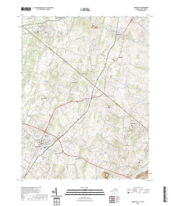
2022 Map of Berryville
USGS Topo · Published 2022About this map
Berryville serves as a focal point for this area along the West Virginia and Virginia border, where the Clarke County Courthouse stands at the center of a dense network of local roads. The landscape is dotted with numerous springs and agricultural landmarks, such as Fairfax Grant Farm Springs and Baker Farm Spring, reflecting a long history of spring-fed farming in the valley. To the south and east, the terrain descends toward the Shenandoah River, passing through smaller settlements like Webbtown and Wickliffe.
Find a feature on this map
165 named features on this map. Tap any name to fly to it.
Don’t see what you’re looking for? This feature index may not catch every label — zoom into the map to look around manually.
Map Details
Editions of this 2022 Berryville Map
This is the sole edition of this map. No revisions or reprints were ever made.
Other maps of this area

1884 · Harpers Ferry
USGS Topo · 1:125,000

1891 · Harpers Ferry
USGS Topo · 1:125,000

1893 · Harpers Ferry
USGS Topo · 1:125,000

1894 · Winchester
USGS Topo · 1:125,000

1914 · Martinsburg
USGS Topo · 1:48,000

1914 · Gerrardstown
USGS Topo · 1:48,000

1916 · Gerrardstown
USGS Topo · 1:62,500

1916 · Martinsburg
USGS Topo · 1:62,500

1916 · Berryville
USGS Topo · 1:62,500

1937 · Gerrardstown
USGS Topo · 1:48,000