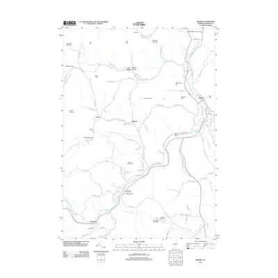
2012 Map of Bethel
USGS Topo · Published 2012About this map
The White River and its numerous tributaries, including Locust Cr and Camp Brook, carve through the Windsor County landscape, anchoring the valley settlements of Bethel, Gaysville, and Lilliesville. The infrastructure of this period reflects a mix of traditional and modern utilities, from the Gilead Brook Covered Bridge in the north to the White River National Fish Hatchery centrally located along the riverbanks. Higher elevations like Delectable Mountain and Rochester Mountain frame the valley, while smaller peaks such as Pauls Peak and Heap Pinnacle offer local landmarks for orientation.
Find a feature on this map
98 named features on this map. Tap any name to fly to it.
Don’t see what you’re looking for? This feature index may not catch every label — zoom into the map to look around manually.
Map Details
Editions of this 2012 Bethel Map
This is the sole edition of this map. No revisions or reprints were ever made.
Other maps of this area

1891 · Rutland
USGS Topo · 1:62,500

1893 · Rutland
USGS Topo · 1:62,500

1911 · Woodstock
USGS Topo · 1:62,500

1913 · Woodstock
USGS Topo · 1:62,500

1915 · Rochester
USGS Topo · 1:62,500

1917 · Rochester
USGS Topo · 1:62,500

1919 · Royalton
USGS Topo · 1:62,500

1924 · Randolph
USGS Topo · 1:48,000

1926 · Randolph
USGS Topo · 1:62,500

1943 · Woodstock
USGS Topo · 1:62,500