2023 Map of Bethesda
USGS Topo · Published 2023About this map
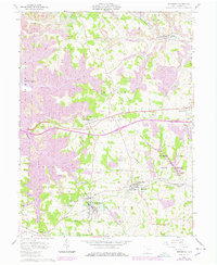
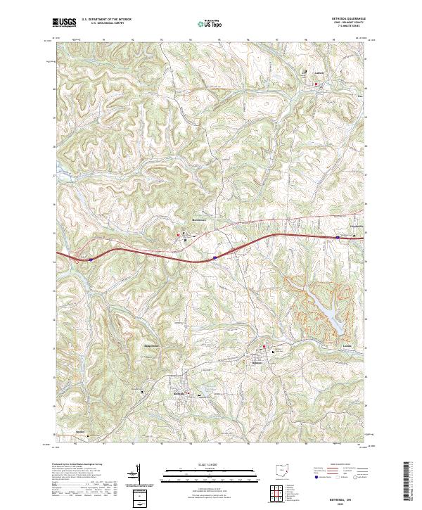
Morristown and Bethesda anchor this portion of Belmont County, where the landscape is defined by the high ground of Barkcamp Hill and the intricate drainage of McMahon Creek. The map reveals a high density of rural cemeteries serving these long-established communities, including Union Cem and Morristown First Cem. The settlement pattern reflects the traditional importance of the National Road corridor, which cuts through the center of the sheet, connecting smaller hamlets like Lafferty, Belmont, and Lloydsville. To the south, the Bethesda Reservoir and Packsaddle Run illustrate the localized water management essential for these hilltop and valley-side towns. Genealogists will find particular value in the numerous family-linked burial grounds such as Speidel Cem and Ebenezer Cem, which remain as permanent markers of the region's 19th-century pioneers.
Find a feature on this map
119 named features on this map. Tap any name to fly to it.
Don’t see what you’re looking for? This feature index may not catch every label — zoom into the map to look around manually.
Map Details
Editions of this 2023 Bethesda Map
This is the sole edition of this map. No revisions or reprints were ever made.