Loading...
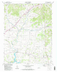
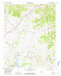
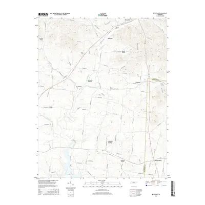
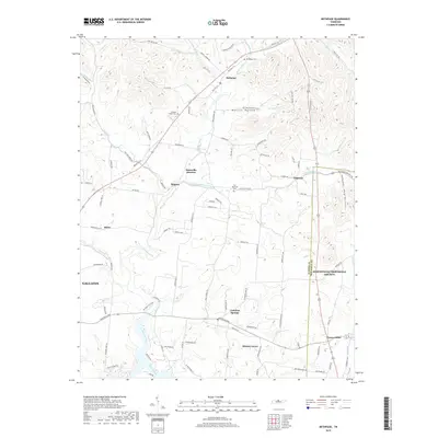
Loading map...1994 Map of Bethpage
USGS Topo · Published 1997About this map
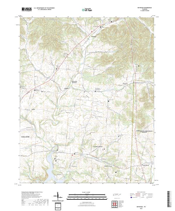
Bledsoe Creek and its many tributaries, including Lick Creek and East Fork, carve through this section of Sumner and Trousdale counties. The landscape is defined by its rural heritage, anchored by the settlement of Bethpage and the historical importance of Castalian Springs. An Old Railroad Grade suggests former transportation corridors that once linked Hartsville Junction to the wider region.
Find a feature on this map
36 named features on this map. Tap any name to fly to it.
Don’t see what you’re looking for? This feature index may not catch every label — zoom into the map to look around manually.
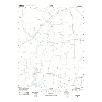
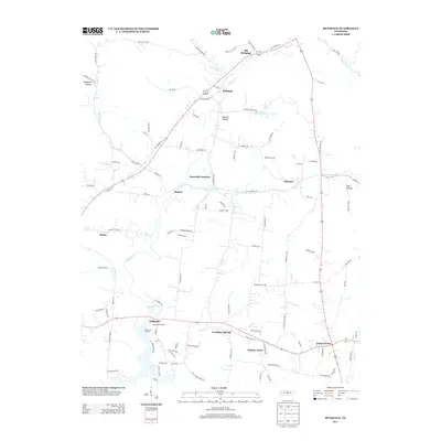
Map Details
Date Portrayed1994
Date Published1997
PublisherU.S. Geological Survey
Map TypeTopographic
Scale1:24,000
Physical Dimensions22 x 27.4 inches
Editions of this 1994 Bethpage Map
This is the sole edition of this map. No revisions or reprints were ever made.
Historical Maps of Hartsville Junction Through Time
7 maps found
Featured Locations
Source Details
SourceU.S. Geological Survey
CopyrightPublic Domain