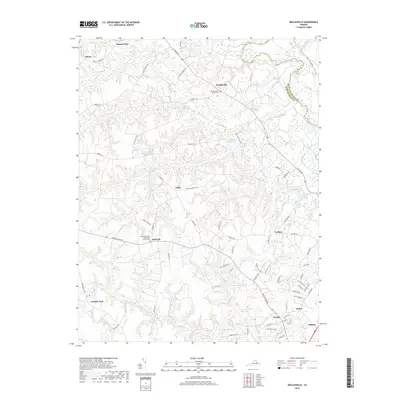
2019 Map of Beulahville
USGS Topo · Published 2019About this map
The Mattaponi River forms the northeastern boundary of this Virginia interior, where the landscape is defined by the winding course of Herring Creek and its many tributaries. This area of King William County shows a long-standing pattern of dispersed agricultural settlements, including Beulahville, Epworth, and Upshaw. The community life of these hamlets is anchored by historic religious sites such as Beulah Baptist Church and Epworth United Methodist Church, both of which maintain their own burial grounds, Beulah Baptist Cem and Epworth United Methodist Cem. Local industry is evidenced by several water features, most notably Dublin Millpond, Mitchell Millpond, and Herring Cr Millpond, indicating a history of milling along the creek banks. Low-lying wetlands like Governor Swamp and Moncuin Pond further characterize the coastal plain terrain as it moves away from the riverfront.
Find a feature on this map
82 named features on this map. Tap any name to fly to it.
Don’t see what you’re looking for? This feature index may not catch every label — zoom into the map to look around manually.
Map Details
Editions of this 2019 Beulahville Map
This is the sole edition of this map. No revisions or reprints were ever made.
Other maps of this area

1894 · Richmond
USGS Topo · 1:62,500

1895 · Richmond
USGS Topo · 1:62,500

1918 · Doswell
USGS Topo · 1:62,500

1918 · Aylett
USGS Topo · 1:62,500

1920 · King William
USGS Topo · 1:62,500

1933 · Aylett
USGS Topo · 1:62,500

1938 · Studley
USGS Topo · 1:31,680

1943 · Richmond
USGS Topo · 1:250,000
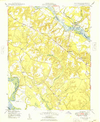
1949 · King William
USGS Topo · 1:24,000
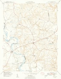
1949 · Aylett
USGS Topo · 1:24,000