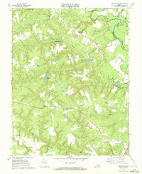
1968 Map of Beulahville
USGS Topo · Published 1972About this map
Beulahville and the surrounding coastal plain of King William County were documented in this 1968 study, revealing a landscape defined by tidewater tributaries and long-standing rural community centers. Small crossroads like Pollards Corner, Upshaw, and Corinth Fork serve as anchor points across the undulating terrain. The area's agricultural and industrial heritage is evident in the numerous water features, including Dublin Millpond, Mitchell Millpond, and Herring Creek Millpond, which reflect the historical importance of milling along the creeks feeding into the Mattaponi River. Local genealogy and social history are centered around landmarks like Providence Ch, St Pauls Ch, and Mt Sinai Ch. The map captures the transition from traditional mill-and-pond systems toward more modern infrastructure, represented by the Radio Tower and evolving road networks connecting Venter and Midway in the southern reaches of the quadrangle.
Find a feature on this map
35 named features on this map. Tap any name to fly to it.
Don’t see what you’re looking for? This feature index may not catch every label — zoom into the map to look around manually.
Map Details
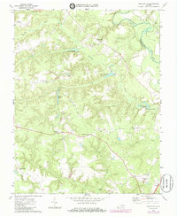
Editions of this 1968 Beulahville Map
2 editions found
Other maps of this area

1894 · Richmond
USGS Topo · 1:62,500

1895 · Richmond
USGS Topo · 1:62,500

1918 · Doswell
USGS Topo · 1:62,500

1918 · Aylett
USGS Topo · 1:62,500

1920 · King William
USGS Topo · 1:62,500

1933 · Aylett
USGS Topo · 1:62,500

1938 · Studley
USGS Topo · 1:31,680

1943 · Richmond
USGS Topo · 1:250,000
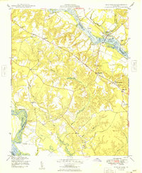
1949 · King William
USGS Topo · 1:24,000
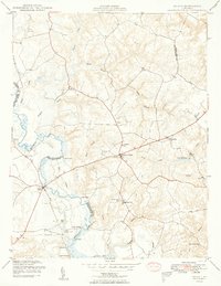
1949 · Aylett
USGS Topo · 1:24,000