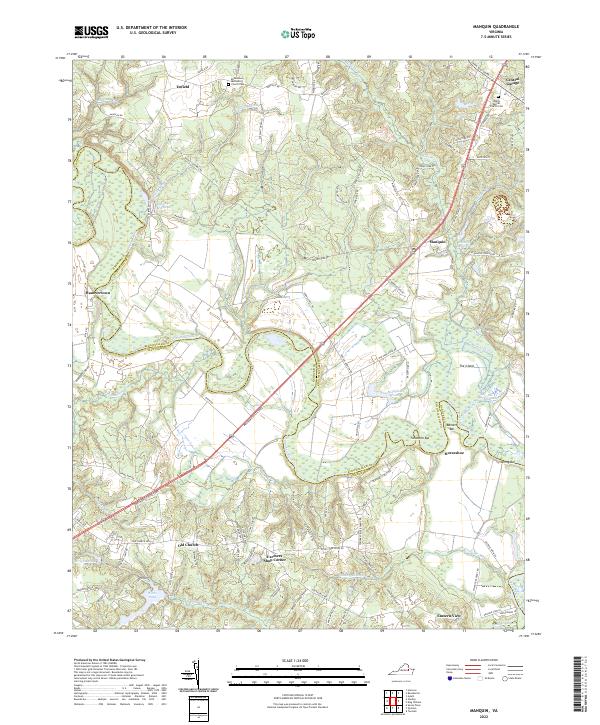
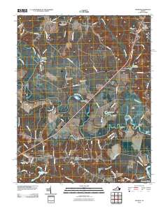
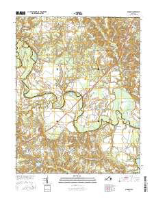
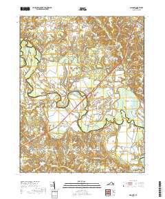
2022 Map of Manquin
USGS Topo · Published 2022About this map
The Pamunkey River winds through this Tidewater landscape, defining the jagged border between Hanover and King William counties. This modern topographic record illuminates the rural continuity of the region, where crossroads settlements like Manquin and Old Church serve as focal points for a network of winding local roads. The terrain is characterized by extensive wetlands and swampy lowlands, including Judy Swamp and Whiting Swamp, which frame the agricultural and forested uplands.
Find a feature on this map
99 named features on this map. Tap any name to fly to it.
Don’t see what you’re looking for? This feature index may not catch every label — zoom into the map to look around manually.
Map Details
Editions of this 2022 Manquin Map
This is the sole edition of this map. No revisions or reprints were ever made.
Historical Maps of Central Garage Through Time
14 maps found
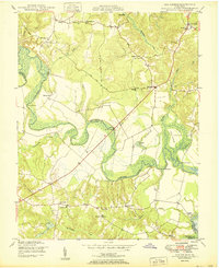
1950 Old Church
King William County, VA
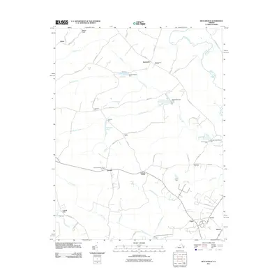
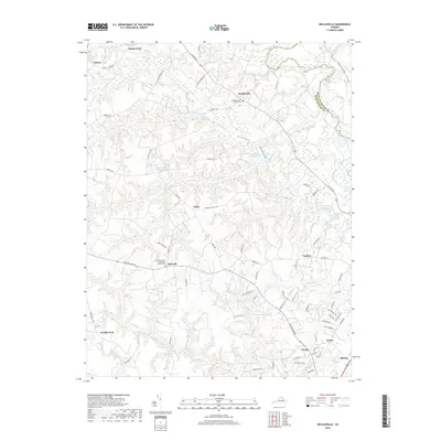
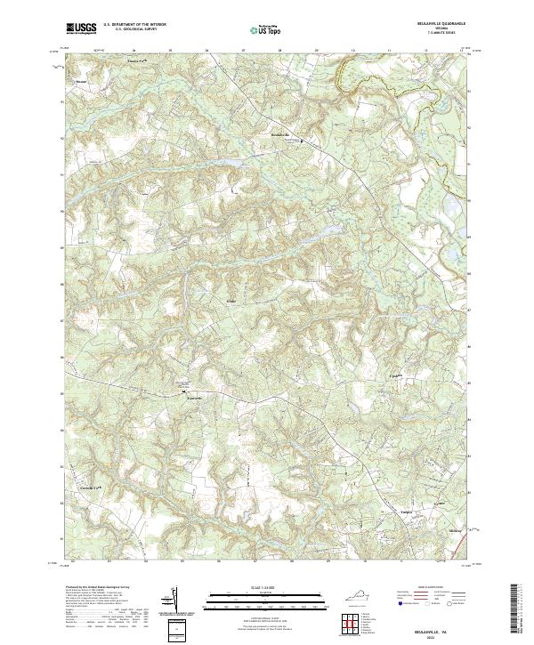
1951 Beulahville
King William County, VA
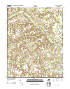
1968 Beulahville
King William County, VA
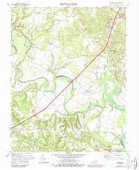
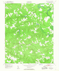
1968 Manquin
King William County, VA
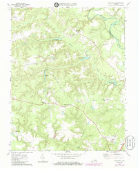
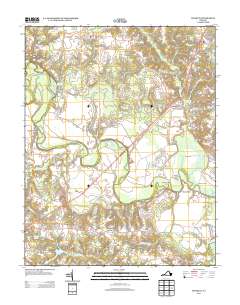
2010 Manquin
King William County, VA
2011 Beulahville
King William County, VA
2013 Beulahville
King William County, VA
2013 Manquin
King William County, VA
2016 Beulahville
King William County, VA
2016 Manquin
King William County, VA
2019 Beulahville
King William County, VA
2019 Manquin
King William County, VA
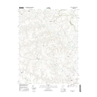
2022 Beulahville
King William County, VA
2022 Manquin
King William County, VA