
1938 Map of Seven Pines
USGS Topo · Published 1938About this map
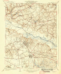
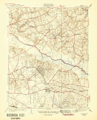
Battlefield Park and the surrounding grounds of Old Cold Harbor define this landscape east of Richmond during the 1930s. The terrain is deeply marked by Civil War history, with the National Cem and significant homesteads like the Watt House and Adams House preserved within the survey. The Chickahominy River snakes through the center of the map, crossed by the Grapevine Bridge, a vital point in the regional river-and-rail network. Emerging aviation history is visible at the Richard E Byrd Landing Field near Fort Lee, while the grids of Highland Springs and Sandston show the growing suburban footprint of the era. Industrial relics like Gaines Mill and Ellerson Mill remain, anchoring the rural landscape to its earlier milling economy.
Find a feature on this map
49 named features on this map. Tap any name to fly to it.
Don’t see what you’re looking for? This feature index may not catch every label — zoom into the map to look around manually.
Map Details
Editions of this 1938 Seven Pines Map
3 editions found
Other maps of this area

1894 · Bermuda Hundred
USGS Topo · 1:62,500

1894 · Richmond
USGS Topo · 1:62,500

1895 · Richmond
USGS Topo · 1:62,500

1918 · Charles City
USGS Topo · 1:62,500

1920 · King William
USGS Topo · 1:62,500

1934 · Seven Pines
USGS Topo · 1:24,000

1934 · Richmond
USGS Topo · 1:24,000

1938 · Dutch Gap
USGS Topo · 1:24,000

1938 · Drewrys Bluff
USGS Topo · 1:24,000

1938 · Studley
USGS Topo · 1:31,680