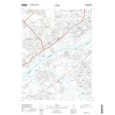
2019 Map of Beverly
USGS Topo · Published 2019About this map
The Delaware River separates the busy industrial and residential corridors of Philadelphia and Burlington Counties in this 2019 survey. On the Pennsylvania shore, the densely developed neighborhoods of Torresdale, Andalusia, and Eddington Gardens are defined by historic transport arteries like Roosevelt Blvd and Bristol Pike. This area is notable for its high concentration of sacred and educational grounds, including the Holy Ghost Preparatory School and numerous old burial sites such as the Gibbs Burial Ground and Vandergrift Burial Yard.
Find a feature on this map
127 named features on this map. Tap any name to fly to it.
Don’t see what you’re looking for? This feature index may not catch every label — zoom into the map to look around manually.
Map Details
Editions of this 2019 Beverly Map
This is the sole edition of this map. No revisions or reprints were ever made.
Other maps of this area

1888 · Mount Holly
USGS Topo · 1:62,500

1890 · Burlington
USGS Topo · 1:62,500

1891 · Philadelphia
USGS Topo · 1:62,500

1893 · Germantown
USGS Topo · 1:62,500

1893 · Burlington
USGS Topo · 1:62,500

1894 · Mount Holly
USGS Topo · 1:62,500

1894 · Philadelphia
USGS Topo · 1:62,500

1894 · Germantown
USGS Topo · 1:62,500

1896 · Germantown
USGS Topo · 1:62,500

1896 · Philadelphia
USGS Topo · 1:62,500
Featured Places
- Philadelphia, PA
- Bensalem Township, PA
- Mount Laurel Township, NJ
- Willingboro Township, NJ
- Moorestown Township, NJ