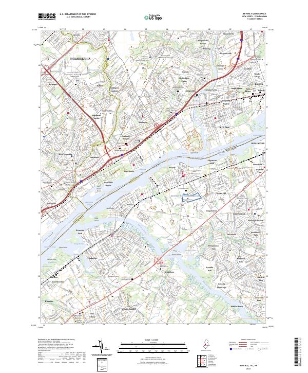
2023 Map of Beverly
USGS Topo · Published 2023About this map
The Delaware River serves as the central artery for this cross-border region, separating Pennsylvania’s Bucks County from New Jersey’s Burlington County. The landscape is defined by its deep historical roots and dense suburban development, particularly evident in the cluster of burial grounds and religious sites like Saint Mary's Lithuanian National Catholic Cem and the Byberry Friends Burial Ground. The river itself is a complex corridor of commerce and navigation, marked by the Mud Island Range and Enterprise Range, while the Pennsylvania New Jersey railroad line underscores the area's long-standing role as a vital transportation hub between major eastern cities.
Find a feature on this map
113 named features on this map. Tap any name to fly to it.
Don’t see what you’re looking for? This feature index may not catch every label — zoom into the map to look around manually.
Map Details
Editions of this 2023 Beverly Map
This is the sole edition of this map. No revisions or reprints were ever made.
Other maps of this area

1888 · Mount Holly
USGS Topo · 1:62,500

1890 · Burlington
USGS Topo · 1:62,500

1891 · Philadelphia
USGS Topo · 1:62,500

1893 · Germantown
USGS Topo · 1:62,500

1893 · Burlington
USGS Topo · 1:62,500

1894 · Mount Holly
USGS Topo · 1:62,500

1894 · Philadelphia
USGS Topo · 1:62,500

1894 · Germantown
USGS Topo · 1:62,500

1896 · Germantown
USGS Topo · 1:62,500

1896 · Philadelphia
USGS Topo · 1:62,500
Featured Places
- Philadelphia, PA
- Bensalem Township, PA
- Mount Laurel Township, NJ
- Willingboro Township, NJ
- Moorestown Township, NJ