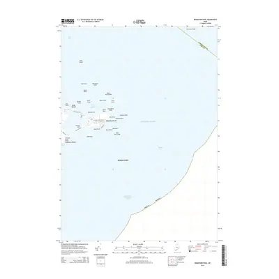
2014 Map of Biddeford Pool
USGS Topo · Published 2014About this map
The coastal settlement of Biddeford Pool occupies a narrow peninsula on the southern Maine coast, deeply defined by its maritime geography and island-studded horizon. The landscape here is a complex of protected harbors and rocky outcroppings, where Wood Island Harbor is shielded by Stage Island and Negro Island. This 2014 survey documents the established residential patterns along Mile Stretch Rd and Hills Beach Rd, connecting the mainland to Fletcher Neck. The presence of Great Pond and Lords Pond adjacent to the salt spray of Fortunes Rocks Beach illustrates the distinct hydrologic character of this shoreline, while the numerous named hazards like Threetree Ledge and Whale Rock Ledge underscore the area's legacy as a site of navigational importance for Saco Bay.
Find a feature on this map
43 named features on this map. Tap any name to fly to it.
Don’t see what you’re looking for? This feature index may not catch every label — zoom into the map to look around manually.
Map Details
Editions of this 2014 Biddeford Pool Map
This is the sole edition of this map. No revisions or reprints were ever made.
Other maps of this area

1891 · Portland
USGS Topo · 1:62,500

1891 · Biddeford
USGS Topo · 1:62,500

1893 · Biddeford
USGS Topo · 1:62,500

1893 · Portland
USGS Topo · 1:62,500

1893 · Casco Bay
USGS Topo · 1:62,500

1914 · Portland
USGS Topo · 1:48,000

1914 · Casco Bay
USGS Topo · 1:48,000

1916 · Portland
USGS Topo · 1:62,500

1916 · Casco Bay
USGS Topo · 1:62,500

1916 · Portland And Vicinity
USGS Topo · 1:62,500