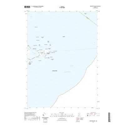
2021 Map of Biddeford Pool
USGS Topo · Published 2021About this map
Biddeford Pool serves as a central anchor for this coastal survey of York County, Maine. The landscape is defined by its maritime geography, where Fletcher Neck separates the Atlantic Ocean from the protected waters of The Pool. Genealogy researchers will find the Fletcher Pool Cem located near the intersection of St Martins Ln and 1st St, providing a specific point of reference for local family history.
Find a feature on this map
46 named features on this map. Tap any name to fly to it.
Don’t see what you’re looking for? This feature index may not catch every label — zoom into the map to look around manually.
Map Details
Editions of this 2021 Biddeford Pool Map
This is the sole edition of this map. No revisions or reprints were ever made.
Other maps of this area

1891 · Portland
USGS Topo · 1:62,500

1891 · Biddeford
USGS Topo · 1:62,500

1893 · Biddeford
USGS Topo · 1:62,500

1893 · Portland
USGS Topo · 1:62,500

1893 · Casco Bay
USGS Topo · 1:62,500

1914 · Portland
USGS Topo · 1:48,000

1914 · Casco Bay
USGS Topo · 1:48,000

1916 · Portland
USGS Topo · 1:62,500

1916 · Casco Bay
USGS Topo · 1:62,500

1916 · Portland And Vicinity
USGS Topo · 1:62,500