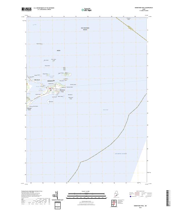
2024 Map of Biddeford Pool
USGS Topo · Published 2024About this map
Biddeford Pool anchors this coastal landscape where the land meets the Atlantic Ocean in a complex network of peninsulas, islands, and tidal basins. The sheltered waters of The Pool and Wood Island Harbor define the local geography, protected by the natural breakwater of Fletcher Neck. Cultural landmarks like the Biddeford Pool Cem and Fort Hill offer points of interest for genealogists and local historians, while the sprawling Rachel Carson National Wildlife Refuge preserves significant portions of the tidal marshes near Hills Beach and Fortunes Rocks. Off the coast, a constellation of islands including Wood Island, Stage Island, and Eagle Island transitions into hazardous ledges like Ram Island Ledge and Negro Island Ledge, illustrating the maritime character of this York County shoreline.
Find a feature on this map
49 named features on this map. Tap any name to fly to it.
Don’t see what you’re looking for? This feature index may not catch every label — zoom into the map to look around manually.
Map Details
Editions of this 2024 Biddeford Pool Map
This is the sole edition of this map. No revisions or reprints were ever made.
Other maps of this area

1891 · Portland
USGS Topo · 1:62,500

1891 · Biddeford
USGS Topo · 1:62,500

1893 · Biddeford
USGS Topo · 1:62,500

1893 · Portland
USGS Topo · 1:62,500

1893 · Casco Bay
USGS Topo · 1:62,500

1914 · Portland
USGS Topo · 1:48,000

1914 · Casco Bay
USGS Topo · 1:48,000

1916 · Portland
USGS Topo · 1:62,500

1916 · Casco Bay
USGS Topo · 1:62,500

1916 · Portland And Vicinity
USGS Topo · 1:62,500