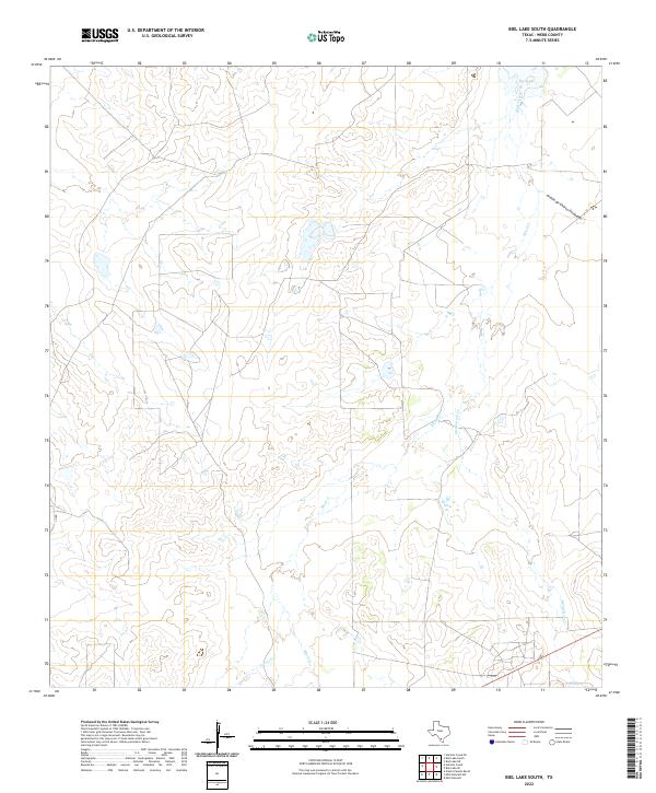
2022 Map of Biel Lake South
USGS Topo · Published 2022About this map
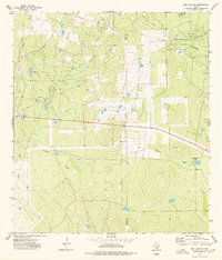
Biel Lake sits at the northern edge of this Webb County terrain, serving as a primary water feature in a landscape defined by an intricate network of intermittent drainage. The hydrologic patterns are dominated by Black Creek and Mesquitoso Cr, which wind through the brush country of South Texas. These drainage ways, including the poetically named Arroyo de Charco Escondido, suggest a landscape shaped by seasonal water flow and ranching utility. The presence of Torres Cr in the south further illustrates the importance of these natural channels in an area where permanent standing water is limited. This 2022 survey by the U.S. Geological Survey emphasizes the rural, sparsely populated nature of the region, where a singular Co RD provides the primary human infrastructure amidst the natural topography.
Find a feature on this map
7 named features on this map. Tap any name to fly to it.
Don’t see what you’re looking for? This feature index may not catch every label — zoom into the map to look around manually.
Map Details
Editions of this 2022 Biel Lake South Map
This is the sole edition of this map. No revisions or reprints were ever made.
Other maps of this area

1937 · Aguilete Creek
USGS Topo · 1:62,500

1956 · Becerra
USGS Topo · 1:62,500

1956 · Las Mujeres
USGS Topo · 1:62,500

1956 · Laredo
USGS Topo · 1:250,000

1968 · Mills Bennett
USGS Topo · 1:24,000

1968 · Mills Bennett NW
USGS Topo · 1:24,000
1973 · Biel Lake North
USGS Topo · 1:24,000
1974 · Biel Lake SE
USGS Topo · 1:24,000
1974 · Biel Lake South
USGS Topo · 1:24,000
1974 · Biel Lake NE
USGS Topo · 1:24,000