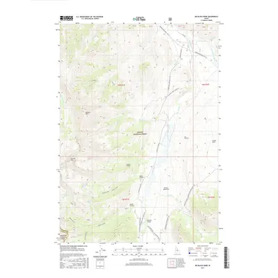
2017 Map of Big Black Dome
USGS Topo · Published 2017About this map
Big Black Dome and Pyramid Peak anchor this high-altitude landscape within the Challis National Forest and Sawtooth National Forest. The map documents a rugged section of the Pioneer Mountains at the border of Custer and Blaine counties, where deep glacial carving is evident in Broad Canyon and Bellas Canyon. Water resources are concentrated in high basins, including Bellas Lakes and Clear Lake, which feed a network of streams such as Star Hope Cr and the E Fork Big Lost River. Access is defined by the Copper Basin Loop Rd FR 138, which services remote recreation sites like Starhope Creek Camping #1. The presence of The Potholes and Copper Basin suggests a geologically complex terrain where drainage patterns have been shaped by ancient alpine processes.
Find a feature on this map
36 named features on this map. Tap any name to fly to it.
Don’t see what you’re looking for? This feature index may not catch every label — zoom into the map to look around manually.
Map Details
Editions of this 2017 Big Black Dome Map
This is the sole edition of this map. No revisions or reprints were ever made.
Other maps of this area

1895 · Hailey
USGS Topo · 1:125,000

1897 · Hailey
USGS Topo · 1:125,000

1935 · MacKay
USGS Topo · 1:96,000

1955 · Idaho Falls
USGS Topo · 1:250,000

1955 · Hailey
USGS Topo · 1:250,000

1958 · Idaho Falls
USGS Topo · 1:250,000

1959 · Hailey
USGS Topo · 1:250,000

1960 · Muldoon Canyon
USGS Topo · 1:62,500

1960 · Copper Basin
USGS Topo · 1:62,500

1962 · Hailey
USGS Topo · 1:250,000