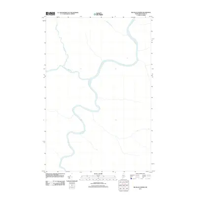
2011 Map of Big Black Rapids
USGS Topo · Published 2011About this map
The Saint John River defines this northern reach of Aroostook County, winding through a heavily forested landscape in the western part of the state. This 2011 survey illustrates the complex hydrology of the borderlands, where the river serves as a primary geographic anchor for the surrounding wilderness. To the northwest, the Ninemile Deadwater indicates a slowing of the river's current, while several smaller tributaries like Twomile Brook and Seminary Brook drain the interior terrain. The lack of road networks or permanent settlements on this sheet highlights the isolated nature of the northern Maine woods during this era, emphasizing a landscape defined almost entirely by its natural waterways and topographical relief.
Find a feature on this map
5 named features on this map. Tap any name to fly to it.
Don’t see what you’re looking for? This feature index may not catch every label — zoom into the map to look around manually.
Map Details
Editions of this 2011 Big Black Rapids Map
This is the sole edition of this map. No revisions or reprints were ever made.
Other maps of this area

1954 · Presque Isle
USGS Topo · 1:250,000

1955 · Rocky Mountain
USGS Topo · 1:62,500

1955 · Little East Lake
USGS Topo · 1:62,500

1955 · Round Pond
USGS Topo · 1:62,500

1955 · Seven Islands
USGS Topo · 1:62,500

1958 · Presque Isle
USGS Topo · 1:250,000

1960 · Presque Isle
USGS Topo · 1:250,000

1962 · Edmundston
USGS Topo · 1:250,000

1976 · Seven Islands
USGS Topo · 1:24,000

1976 · East Lake SE
USGS Topo · 1:24,000