Old Maps of T14 R14 WELS, Maine
Explore 32 old maps of T14 R14 WELS, spanning from 1954 to today. These high-resolution historic maps reveal how streets, neighborhoods, landmarks, and natural features evolved over time — perfect for genealogy, metal detecting, research, and local history exploration.
What you can do with these maps:
- See how T14 R14 WELS changed over time: Compare historical maps to modern-day views to trace roads, homesites, rail lines & more.
- View detailed metadata: Each map includes creators, publishers, year, scale, and archive source.
- Overlay maps with satellite & LiDAR: Visualize the past alongside modern tools to explore terrain & human change.
- Trusted historical sources: Maps sourced from the USGS, Library of Congress, and other archives.
- Access maps your way: View online, download high-res files, or order prints for personal or research use.
Start exploring old maps of T14 R14 WELS to uncover forgotten places, hidden landmarks, and the deep history beneath your feet.
T14 R14 WELS, ME maps
(32)- 1954 Map of Presque Isle, 1968 Print
 1954 Presque Isle1968 Print · USGSNorth Woods logging and rail history come alive in this mid-century survey of the Maine-Quebec borderlands. Genealogists and historians can trace the Bangor and Aroostook railroad through timber hubs like Ashland, Smyrna Mills, and Presque Isle.2 unique versions available
 - 1955 Map of Round Pond, 1956 Print
 1955 Round Pond1956 Print · USGSNorthern Maine's remote borderlands and river corridors are charted here in the mid-fifties, before modern development. You can trace early wilderness outposts like the Immigration Service Camp, find the Game Warden Camp on Round Pond, and locate landmarks like Big Black Rapids.5 unique versions available
 - 1955 Map of Seven Islands, 1956 Print
 1955 Seven Islands1956 Print · USGSUpper Aroostook County in the mid-fifties remains a deep wilderness defined by the St John River and its major tributaries. Researchers can trace remote logging infrastructure including the Forest Service Airfield, California Road, and the secluded Seven Islands.4 unique versions available
 - 1958 Map of Presque Isle
 1958 Presque Isle1958 Print · USGSThe Aroostook timber and potato country is captured here during the late fifties, showing the vital rail-to-river network of Northern Maine. Genealogists and historians can trace the Bangor & Aroostook RR through Mapleton and Ashland, or locate remote sites like Chamberlain Farm and Seven Islands.
 - 1960 Map of Presque Isle
 1960 Presque Isle1960 Print · USGSNorthern Maine during the mid-century was a land of timber, rails, and strategic airfields. Genealogists and historians can trace the growth of Presque Isle and Ashland or explore the remote northern reaches of Baxter State Park and Presque Isle AFB.3 unique versions available
 - 1976 Map of Seven Islands, 1983 Print
 1976 Seven Islands1983 Print · USGSThe Maine North Woods are seen here in the mid-seventies, showing the deep timberland surrounding the St. John River. Researchers can trace the intricate channels of Seven Islands and locate small water bodies like White Pond.
 - 1976 Map of Ninemile Deadwater, 1983 Print
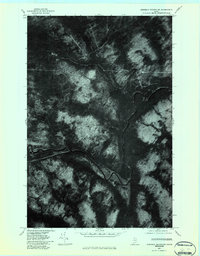 1976 Ninemile Deadwater1983 Print · USGSThe northern Maine woods along the Big Black River are captured in the mid-seventies in this detailed orthophoto study. Foresters and regional historians can trace the specific water paths of the Ninemile Deadwater and Ninemile Brook.
 - 1986 Map of Seven Islands
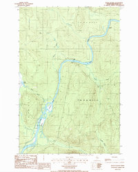 1986 Seven Islands1986 Print · USGSThe North Maine Woods in the mid-1980s reveals a wilderness of timber tracts and river navigation. Researchers can trace the braided channels of Seven Islands and locate landmarks like Priestly Bridge and the Priestly Rapids along the St John River.
 - 1986 Map of Ninemile Deadwater
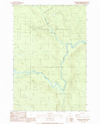 1986 Ninemile Deadwater1986 Print · USGSThe deep Maine woods of northern Aroostook County are captured in the mid-1980s, showing a wilderness of timber townships and winding waterways. Researchers can trace the path of the Big Ninemile Deadwater River and locate remote features like Fivemile Brook and a lonely Gravel Pit.
 - 1986 Map of Blue Brook
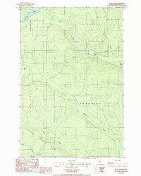 1986 Blue Brook1986 Print · USGSNorthern Maine's North Woods are captured in the mid-1980s, showing a remote landscape of township grids and timber access. Trace the path of the St John River and interior landmarks like Blue Pond and Harding Ridge.
 - 1986 Map of Big Black Rapids
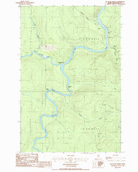 1986 Big Black Rapids1986 Print · USGSAroostook County's deep timberlands meet the international border in the mid-1980s as the Big Black River flows into the St John River. Researchers can trace the remote Immigration Service Camp and navigate the white water of the Big Black Rapids and Basford Rtps.
 - 1993 Map of Clayton Lake, 1994 Print
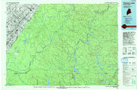 1993 Clayton Lake1994 Print · USGSThe North Woods along the Maine and Quebec border remained a vast wilderness of timber and water in the early nineties. Researchers can trace historic river crossings and remote outposts like Ninemile Bridge, Saint-Pamphile, and the Harvey Farm.
 - 2011 Map of Blue Brook, 2011 Print
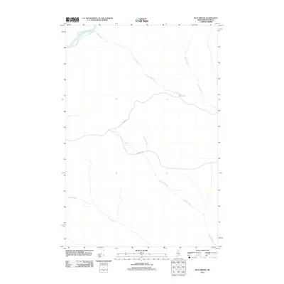 2011 Blue Brook2011 Print · USGSUpper Aroostook County in the early twenty-first century is characterized by its remote waterways and vast timberlands. Map collectors and researchers can trace the routes of Maibec Rd and Blanchette Rd as they navigate the drainages of Blue Pond and the Saint John River.
 - 2011 Map of Big Black Rapids, 2011 Print
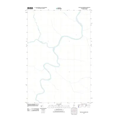 2011 Big Black Rapids2011 Print · USGSThe northern Maine woods along the Saint John River are captured here in the early twenty-first century. Researchers can trace the winding path of the river through this unpopulated frontier, including the Ninemile Deadwater and Twomile Brook.
 - 2011 Map of Seven Islands, 2011 Print
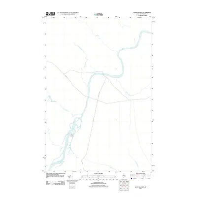 2011 Seven Islands2011 Print · USGSThe Aroostook County timberlands are captured here in the early twenty-first century, centered on the winding Saint John River. You can trace the drainage of Seven Islands and follow forest routes like Maibec Rd and Boulevard Rd.
 - 2011 Map of Ninemile Deadwater, 2011 Print
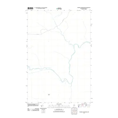 2011 Ninemile Deadwater2011 Print · USGSAroostook County in the early twenty-first century remains a vast wilderness dominated by the winding course of the Ninemile Deadwater. Researchers can trace remote logging infrastructure along Robinson Rd and locate the high ground at Western Ledge.
 - 2014 Map of Blue Brook, 2014 Print
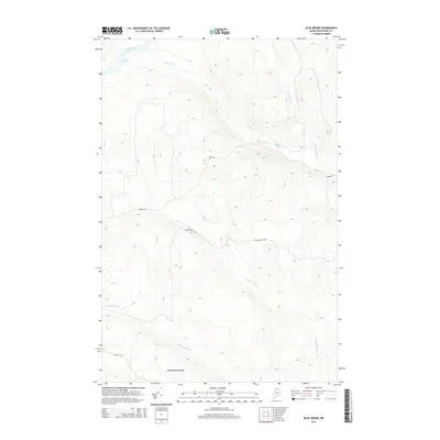 2014 Blue Brook2014 Print · USGSAroostook County's deep woods are documented here in the early twenty-first century, showing a landscape defined by industrial timber roads and remote waterways. Trace the paths of Maibec Rd and McNally Rd as they navigate the ridges near Priestly Rapids.
 - 2014 Map of Seven Islands, 2014 Print
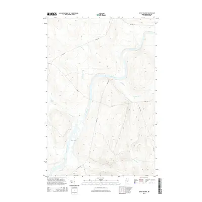 2014 Seven Islands2014 Print · USGSThe northern Maine wilderness along the Saint John River is captured here in the early twenty-first century. Researchers can trace the timber-industry road networks like Maibec Rd and identify local water features including Priestly Rapids and the Seven Islands archipelago.
 - 2014 Map of Big Black Rapids, 2014 Print
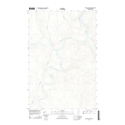 2014 Big Black Rapids2014 Print · USGSThe Aroostook County borderlands are dominated by the winding course of the Saint John River and its forest-lined tributaries. Researchers can trace the rugged river hydrology through the Big Black Rapids, Basford Rips, and Big Black River.
 - 2014 Map of Ninemile Deadwater, 2014 Print
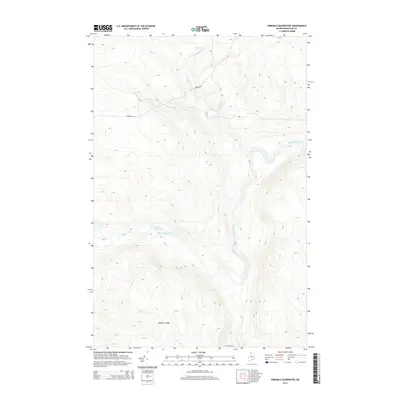 2014 Ninemile Deadwater2014 Print · USGSAroostook County's deep woods are captured in the early twenty-first century, showing a landscape defined by the winding Big Black River. Researchers can trace the logging infrastructure and terrain landmarks like the Western Ledge and the quiet Ninemile Deadwater.
 - 2018 Map of Seven Islands, 2018 Print
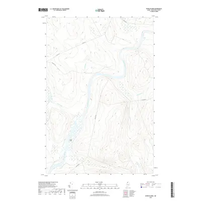 2018 Seven Islands2018 Print · USGSThe remote Maine woods of Aroostook County are documented here in 2018, centered on the winding Saint John River. Researchers can trace the river's path through Priestly Rapids and find local landmarks like Seven Islands and White Pond.
 - 2018 Map of Big Black Rapids, 2018 Print
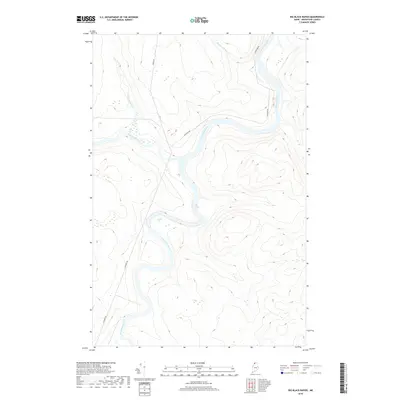 2018 Big Black Rapids2018 Print · USGSNorthern Aroostook County’s river-driven wilderness is documented here in the 2010s. Researchers can trace the logging routes of Irving Rd and the hydraulic features of the Saint John River, including Big Black Rapids and Basford Rips.
 - 2018 Map of Ninemile Deadwater, 2018 Print
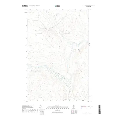 2018 Ninemile Deadwater2018 Print · USGSThe North Maine Woods in the late 2010s remain a landscape defined by water and timber roads. Researchers can trace the winding course of the Big Black River and the expansive Ninemile Deadwater alongside remote routes like Robinson Rd.
 - 2018 Map of Blue Brook, 2018 Print
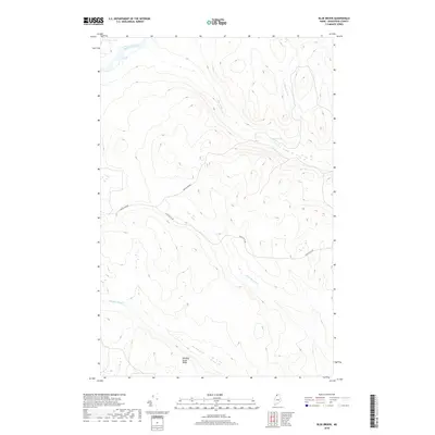 2018 Blue Brook2018 Print · USGSAroostook County's timberlands are documented here in the late twenty-tens, showing the intersection of heavy forestry roads and wilderness waterways. Trace the network of logging routes like Boulevard Rd near the Saint John River and Priestly Rapids.
 - 2021 Map of Blue Brook, 2021 Print
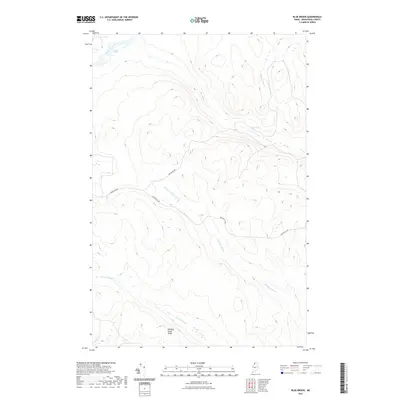 2021 Blue Brook2021 Print · USGSThis part of the North Maine Woods was documented in 2021, showing a terrain shaped by the winding Saint John River and remote logging routes. Researchers can trace the paths of Boulevard Rd and Blanchette Rd past Blue Pond.
Showing maps 1-25 of 32
Frequently asked questions
- What are the different types of historical maps available for T14 R14 WELS?
- What is the oldest map of T14 R14 WELS?
- Where can I purchase historical maps of T14 R14 WELS for my home or office?
- Where can I download high-res historical maps of T14 R14 WELS?
- Are there historical topographic maps available for T14 R14 WELS?
- Is there historical aerial imagery available for T14 R14 WELS?
- Where are historical maps of T14 R14 WELS sourced from?